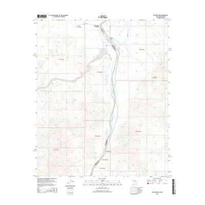
2015 Map of Picacho NW
USGS Topo · Published 2015About this map
The Colorado River defines the winding border between California and Arizona in this arid riverine landscape. On the California side, Paymaster Landing sits at the northern edge of the map, while the floodplain is marked by a series of oxbow-style water bodies including Cibola Lake, Walker Lake, and Draper Lake. These features reflect the shifting nature of the river's path through the Cibola Valley and across the county lines of Imperial and La Paz. To the west, the terrain rises into desert uplands cut by Turnaround Wash and Draper Wash, where Arrowweed Spring provides a rare point of water. On the eastern Arizona bank, the land climbs abruptly into the Trigo Mountains, with Lighthouse Rock standing as a prominent navigational landmark above Paradise Valley. The presence of Walters Camp Rd and Hayes Rd suggests the primary access routes through this sparsely settled river corridor.
Find a feature on this map
27 named features on this map. Tap any name to fly to it.
Don’t see what you’re looking for? This feature index may not catch every label — zoom into the map to look around manually.
Map Details
Editions of this 2015 Picacho NW Map
This is the sole edition of this map. No revisions or reprints were ever made.
Other maps of this area
1942 · Blythe
USGS Topo · 1:250,000
1945 · Cibola
USGS Topo · 1:62,500
1945 · Picacho
USGS Topo · 1:62,500
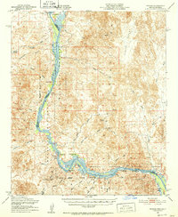
1951 · Picacho
USGS Topo · 1:62,500
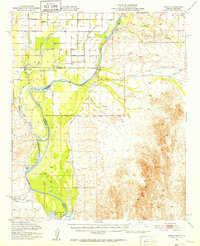
1951 · Cibola
USGS Topo · 1:62,500
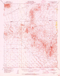
1953 · Palo Verde Mountains
USGS Topo · 1:62,500
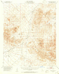
1953 · Quartz Peak
USGS Topo · 1:62,500
1954 · Salton Sea
USGS Topo · 1:250,000
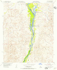
1954 · Picacho NW
USGS Topo · 1:24,000
1954 · Picacho SW
USGS Topo · 1:24,000