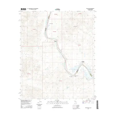
2015 Map of Picacho SW
USGS Topo · Published 2015About this map
The Colorado River carves a winding path along the state boundary between Arizona and California, defining the geography of this arid riverine landscape. Low-lying backwaters and riparian features like Regan Slough, Adobe Lake, and Nortons Lake characterize the floodplain, while the Trigo Mountains rise to the east. Human presence is centered on small riverside outposts, including Nortons Landing and Nommel Place, which suggest a history of seasonal access or small-scale river utility.
Find a feature on this map
36 named features on this map. Tap any name to fly to it.
Don’t see what you’re looking for? This feature index may not catch every label — zoom into the map to look around manually.
Map Details
Editions of this 2015 Picacho SW Map
This is the sole edition of this map. No revisions or reprints were ever made.
Other maps of this area
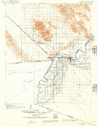
1903 · Yuma
USGS Topo · 1:125,000
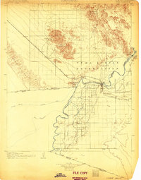
1905 · Yuma
USGS Topo · 1:125,000
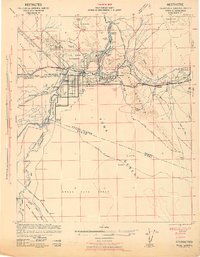
1942 · Yuma
USGS Topo · 1:250,000
1942 · Blythe
USGS Topo · 1:250,000
1945 · Picacho Peak
USGS Topo · 1:62,500
1945 · Picacho
USGS Topo · 1:62,500
1951 · Picacho
USGS Topo · 1:62,500
1951 · Picacho Peak
USGS Topo · 1:62,500
1953 · Quartz Peak
USGS Topo · 1:62,500
1953 · Ogilby
USGS Topo · 1:62,500