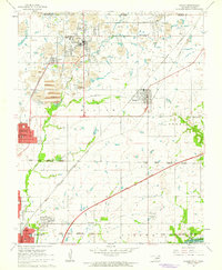
1961 Map of Picher
USGS Topo · Published 1963About this map
Mining operations and tailings ponds dominate the northern landscape of this region during the early 1960s, reflecting the intensive lead and zinc extraction that defined these communities. The map documents the intricate rail network of the St Louis San Francisco and Oklahoma and the Kansas and Oklahoma railroads, which served industrial hubs like Picher and Cardin. These tracks thread through the Quapaw Peoria Indian Reservation Boundary, illustrating the complex intersection of tribal lands and mineral wealth.
Find a feature on this map
34 named features on this map. Tap any name to fly to it.
Don’t see what you’re looking for? This feature index may not catch every label — zoom into the map to look around manually.
Map Details
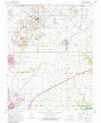
Editions of this 1961 Picher Map
2 editions found
Other maps of this area

1886 · Joplin
USGS Topo · 1:125,000

1894 · Joplin
USGS Topo · 1:125,000

1907 · Wyandotte
USGS Topo · 1:125,000

1909 · Wyandotte
USGS Topo · 1:125,000

1918 · Columbus
USGS Topo · 1:62,500

1947 · Joplin
USGS Topo · 1:250,000

1949 · Joplin
USGS Topo · 1:250,000

1954 · Tulsa
USGS Topo · 1:250,000

1954 · Joplin
USGS Topo · 1:250,000

1958 · Joplin
USGS Topo · 1:250,000