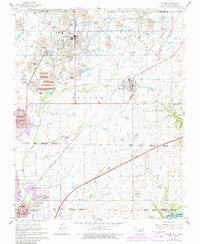
1961 Map of Picher
USGS Topo · Published 1982About this map
Picher and the surrounding mining district of the Quapaw reservation define this landscape, where the heavy industry of the mid-twentieth century is written across the earth in numerous Tailings piles and large Tailings Ponds. This area of Ottawa County was a global center for lead and zinc production, supporting a dense network of company towns and rail spurs including Cardin, Douthat, and Hockerville along the Burlington Northern lines. To the south, the terrain shifts toward the civic centers of Commerce and Miami, the latter featuring Northeastern Oklahoma A and M Jr College. The map also captures the path of the Will Rogers Turnpike as it cuts through the Quapaw Peoria Indian Reservation Boundary, illustrating the intersection of ancient tribal lands with modern interstate infrastructure and a legacy of intensive extraction.
Find a feature on this map
39 named features on this map. Tap any name to fly to it.
Don’t see what you’re looking for? This feature index may not catch every label — zoom into the map to look around manually.
Map Details
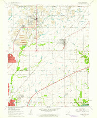
Editions of this 1961 Picher Map
2 editions found
Other maps of this area

1886 · Joplin
USGS Topo · 1:125,000

1894 · Joplin
USGS Topo · 1:125,000

1907 · Wyandotte
USGS Topo · 1:125,000

1909 · Wyandotte
USGS Topo · 1:125,000

1918 · Columbus
USGS Topo · 1:62,500

1947 · Joplin
USGS Topo · 1:250,000

1949 · Joplin
USGS Topo · 1:250,000

1954 · Tulsa
USGS Topo · 1:250,000

1954 · Joplin
USGS Topo · 1:250,000

1958 · Joplin
USGS Topo · 1:250,000