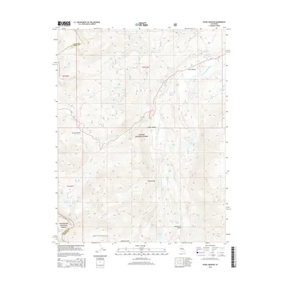
2015 Map of Pickel Meadow
USGS Topo · Published 2015About this map
The West Walker River carves a central path through this high-altitude landscape, where the Toiyabe National Forest and Stanislaus National Forest meet along the dramatic crest of the Sierra Nevada. This modern survey documents a wilderness defined by its glaciated basins and alpine meadows, including the broad reaches of Pickel Meadow and Leavitt Meadow. The Pacific Crest National Scenic Trail winds through the western and southern sections of the map, providing a continuous line of travel for those crossing the boundary between Mono and Tuolumne counties.
Find a feature on this map
42 named features on this map. Tap any name to fly to it.
Don’t see what you’re looking for? This feature index may not catch every label — zoom into the map to look around manually.
Map Details
Editions of this 2015 Pickel Meadow Map
This is the sole edition of this map. No revisions or reprints were ever made.
Other maps of this area
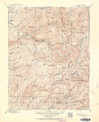
1896 · Dardanelles
USGS Topo · 1:125,000
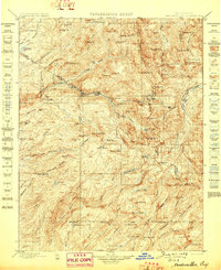
1898 · Dardanelles
USGS Topo · 1:125,000
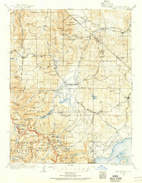
1909 · Bridgeport
USGS Topo · 1:125,000
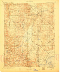
1911 · Bridgeport
USGS Topo · 1:125,000
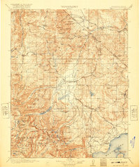
1920 · Bridgeport
USGS Topo · 1:125,000

1948 · Walker Lake
USGS Topo · 1:250,000
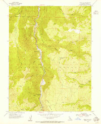
1954 · Chris Flat
USGS Topo · 1:24,000
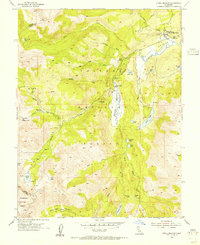
1954 · Pickel Meadow
USGS Topo · 1:24,000
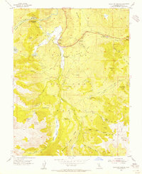
1954 · Fales Hot Springs
USGS Topo · 1:24,000
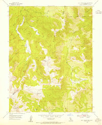
1954 · Lost Cannon Peak
USGS Topo · 1:24,000