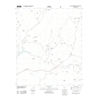
2011 Map of Picketpost Mountain
USGS Topo · Published 2011About this map
Picketpost Mountain anchors the southern portion of this high-desert landscape near Superior, Arizona, where the terrain is defined by a dense network of seasonal washes and canyons. The presence of the Bomboy Mine Rd and Hewitt Station Rd indicates the historical importance of access to mining claims and cattle operations in the Pinal County backcountry. The map captures the infrastructure of the early 21st century, including the Superior Municipal Airport and the Queen Creek Bridge, while still noting local camps like Barnett Camp and Happy Camp. Water management is central to the area's utility, evidenced by numerous named tanks and springs such as Arboretum Tank, Lower Railroad Spring, and Highway Tank. From the crossing at Gonzales Pass to the deep recesses of Telegraph Canyon, the survey reflects a landscape where industrial leftovers like the Superior Dump exist alongside protected natural corridors.
Find a feature on this map
62 named features on this map. Tap any name to fly to it.
Don’t see what you’re looking for? This feature index may not catch every label — zoom into the map to look around manually.
Map Details
Editions of this 2011 Picketpost Mountain Map
This is the sole edition of this map. No revisions or reprints were ever made.
Other maps of this area
1900 · Florence
USGS Topo · 1:125,000
1902 · Florence
USGS Topo · 1:125,000
1948 · Superior
USGS Topo · 1:62,500
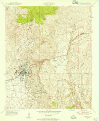
1948 · Superior
USGS Topo · 1:24,000
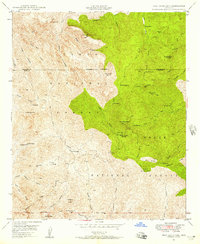
1948 · Iron Mountain
USGS Topo · 1:24,000
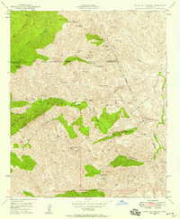
1948 · Haunted Canyon
USGS Topo · 1:24,000
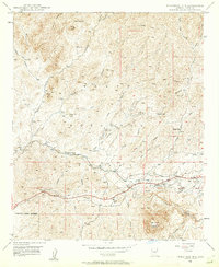
1948 · Picketpost Mtn
USGS Topo · 1:24,000
1949 · Superior
USGS Topo · 1:24,000
1949 · Iron Mountain
USGS Topo · 1:24,000
1949 · Haunted Canyon
USGS Topo · 1:24,000