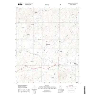
2018 Map of Picketpost Mountain
USGS Topo · Published 2018About this map
Superior sits at the edge of the Tonto National Forest, where the desert terrain transitions into the high peaks of the Pinal Mountains. The landscape is defined by massive geological landmarks like Picketpost Mtn and the Hewitt Canyon Natural Arch. This 2018 survey documents a region defined by its rugged topography and critical water sources, such as Millsite Spring and Benson Spring, which have sustained movement through these canyons for generations.
Find a feature on this map
72 named features on this map. Tap any name to fly to it.
Don’t see what you’re looking for? This feature index may not catch every label — zoom into the map to look around manually.
Map Details
Editions of this 2018 Picketpost Mountain Map
This is the sole edition of this map. No revisions or reprints were ever made.
Other maps of this area
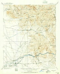
1900 · Florence
USGS Topo · 1:125,000
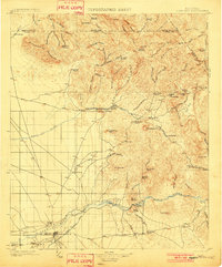
1902 · Florence
USGS Topo · 1:125,000
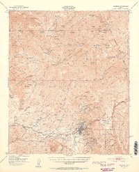
1948 · Superior
USGS Topo · 1:62,500
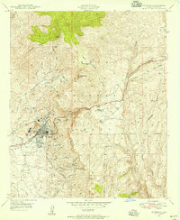
1948 · Superior
USGS Topo · 1:24,000
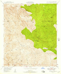
1948 · Iron Mountain
USGS Topo · 1:24,000
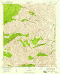
1948 · Haunted Canyon
USGS Topo · 1:24,000
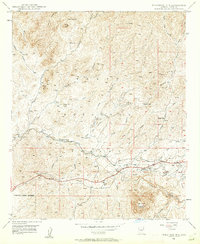
1948 · Picketpost Mtn
USGS Topo · 1:24,000
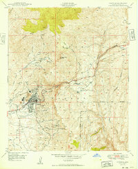
1949 · Superior
USGS Topo · 1:24,000
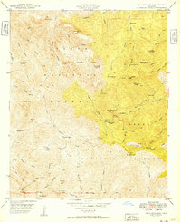
1949 · Iron Mountain
USGS Topo · 1:24,000
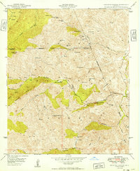
1949 · Haunted Canyon
USGS Topo · 1:24,000