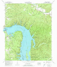
1972 Map of Pickwick
USGS Topo · Published 1974About this map
Pickwick Lake dominates this landscape, created by the massive Pickwick Landing Dam near the western edge of the quadrangle. The map reveals a post-dam environment where Pickwick Landing State Park and the Tennessee Wildlife Management Area have transformed former riverfront lands into recreational and conservation zones. While modern settlements like Pompeys Branch Estates and Holiday Hills appear, the map preserves the locations of older community anchors such as New Chapel and Mt Tabor Church. Genealogists will find a high density of family and community burial sites, including Burnt Stand Cem, Rosa Cem, and Porter Cem. The intricate network of inlets like Blowing Spring Hollow and Bruton Branch illustrates how the rising waters of the Tennessee River reshaped the rugged terrain of Sand Mountain and Pyburn Bluff.
Find a feature on this map
87 named features on this map. Tap any name to fly to it.
Don’t see what you’re looking for? This feature index may not catch every label — zoom into the map to look around manually.
Map Details
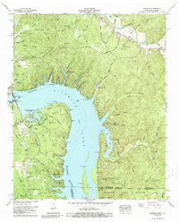
Editions of this 1972 Pickwick Map
2 editions found
Other maps of this area

1911 · Iuka
USGS Topo · 1:48,000

1914 · Iuka
USGS Topo · 1:62,500

1935 · Doskie
USGS Topo · 1:24,000

1936 · Savannah
USGS Topo · 1:24,000

1936 · Wolf Pit Ridge
USGS Topo · 1:24,000

1936 · Waterloo
USGS Topo · 1:24,000

1936 · Counce
USGS Topo · 1:24,000

1936 · Shaws
USGS Topo · 1:24,000

1936 · Pickwick
USGS Topo · 1:24,000

1936 · Lowryville
USGS Topo · 1:24,000