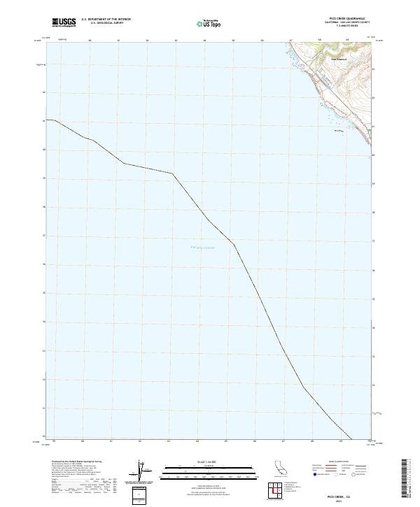
2021 Map of Pico Creek
USGS Topo · Published 2021About this map
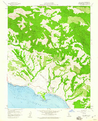
San Simeon anchors the northeastern corner of this coastal sheet, where the Santa Lucia Range meets the Pacific shoreline. The settlement’s residential grid is clearly defined by streets such as Avonne Ave, Castillo Dr, and Lone Palm Dr, concentrated on the bluffs overlooking the ocean. The hydrology of the area is shaped by the seasonal flow of Pico Cr and the drainage of Arroyo Del Padre Juan, which carve through the coastal terrace. Offshore, the prominent Pico Rock serves as a distinct maritime landmark. This survey captures the interface of developed coastal land and protected natural space, highlighted by the San Simeon Beach and Bluff Trl which follows the contours of the rugged coastline. Beyond the small cluster of coastal development, the map details the expansive Pacific Ocean and the precise cadastral boundaries of the Public Land Survey System, including sections within t26s r8e and t27s r8e.
Find a feature on this map
16 named features on this map. Tap any name to fly to it.
Don’t see what you’re looking for? This feature index may not catch every label — zoom into the map to look around manually.
Map Details
Editions of this 2021 Pico Creek Map
This is the sole edition of this map. No revisions or reprints were ever made.
Other maps of this area

1919 · Piedras Blancas
USGS Topo · 1:62,500

1919 · San Simeon
USGS Topo · 1:62,500

1927 · Piedras Blancas
USGS Topo · 1:62,500

1937 · San Simeon
USGS Topo · 1:62,500

1947 · San Luis Obispo
USGS Topo · 1:250,000

1948 · San Luis Obispo
USGS Topo · 1:250,000
1956 · San Luis Obispo
USGS Topo · 1:250,000
1957 · San Luis Obispo
USGS Topo · 1:250,000
1958 · San Luis Obispo
USGS Topo · 1:250,000
1958 · San Simeon
USGS Topo · 1:24,000