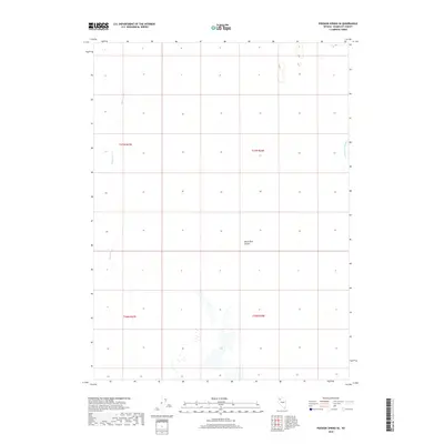
2018 Map of Pidgeon Spring SE
USGS Topo · Published 2018About this map
The Black Rock Desert defines this section of the Great Basin, where the stark, alkaline landscape of Humboldt County is punctuated by seasonal watercourses. The Quinn River meanders across the western portion of the quadrangle, illustrating the endorheic drainage patterns typical of this arid region. To the northeast, the Jackson Cr Slough feeds into the edge of the desert floor, showing how surface water interacts with the vast playa during periods of runoff. This 2018 survey captures the intersection of several townships, including t37n r27e, t37n r28e, and t36n r27e, providing a precise look at the Public Land Survey System grid in an area characterized by its wide-open geography and sparse surface features.
Find a feature on this map
7 named features on this map. Tap any name to fly to it.
Don’t see what you’re looking for? This feature index may not catch every label — zoom into the map to look around manually.
Map Details
Editions of this 2018 Pidgeon Spring SE Map
This is the sole edition of this map. No revisions or reprints were ever made.
Other maps of this area

1886 · Disaster
USGS Topo · 1:250,000

1893 · Disaster
USGS Topo · 1:250,000

1931 · Lovelock
USGS Topo · 1:250,000

1935 · Lovelock
USGS Topo · 1:250,000

1954 · Vya
USGS Topo · 1:250,000

1955 · Lovelock
USGS Topo · 1:250,000

1958 · Vya
USGS Topo · 1:250,000

1959 · Lovelock
USGS Topo · 1:250,000

1962 · Vya
USGS Topo · 1:250,000
1966 · King Lear Peak
USGS Topo · 1:62,500