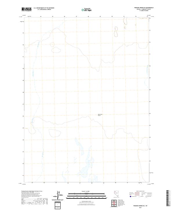
2021 Map of Pidgeon Spring SE
USGS Topo · Published 2021About this map
Black Rock Desert dominates this corner of Humboldt County, where the stark playa and its surrounding high desert floor meet the ephemeral path of the Quinn River. This 2021 survey illustrates the complex hydrography of a drainage system that relies on seasonal runoff, characterized by the winding bed of the river as it flows toward the southwest. Along the eastern edge of the quadrangle, Jackson Cr Slough feeds into the arid basin, highlighting the delicate water patterns that define survival and passage in this corner of the Great Basin. The map provides a clear look at the Public Land Survey System grid across T37N and T36N, crucial for understanding the modern parceling and management of these expansive public lands.
Find a feature on this map
7 named features on this map. Tap any name to fly to it.
Don’t see what you’re looking for? This feature index may not catch every label — zoom into the map to look around manually.
Map Details
Editions of this 2021 Pidgeon Spring SE Map
This is the sole edition of this map. No revisions or reprints were ever made.
Other maps of this area

1886 · Disaster
USGS Topo · 1:250,000

1893 · Disaster
USGS Topo · 1:250,000

1931 · Lovelock
USGS Topo · 1:250,000

1935 · Lovelock
USGS Topo · 1:250,000

1954 · Vya
USGS Topo · 1:250,000

1955 · Lovelock
USGS Topo · 1:250,000

1958 · Vya
USGS Topo · 1:250,000

1959 · Lovelock
USGS Topo · 1:250,000

1962 · Vya
USGS Topo · 1:250,000

1966 · King Lear Peak
USGS Topo · 1:62,500