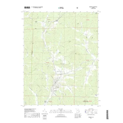
2017 Map of Piedmont
USGS Topo · Published 2017About this map
Piedmont serves as the central hub of this 2017 survey, situated at the southern edge of the Saint Francois Mountains. The map reveals a landscape defined by the transition from rugged timberland within the Mark Twain National Forest to the clustered settlements of Beckville and Gads Hill. Genealogists will find a wealth of local-history data through the numerous family-named burial grounds, including Ruble Cem, Diesel-Moore Cem, and Anderson Cem, which are scattered throughout the hollows and mountain foothills. Significant geographical features like Lon Sanders Canyon and Dover Lake punctuate the terrain north of the city. The area's infrastructure is anchored by the Piedmont Municipal Airport and a network of secondary roads such as State Hwy CC and State Hwy AA, facilitating access between the valley and the surrounding peaks of Finleys Mountains.
Find a feature on this map
106 named features on this map. Tap any name to fly to it.
Don’t see what you’re looking for? This feature index may not catch every label — zoom into the map to look around manually.
Map Details
Editions of this 2017 Piedmont Map
This is the sole edition of this map. No revisions or reprints were ever made.
Other maps of this area
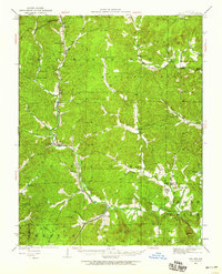
1926 · Des Arc
USGS Topo · 1:62,500
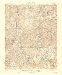
1929 · Des Arc
USGS Topo · 1:62,500
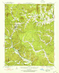
1932 · Piedmont
USGS Topo · 1:62,500
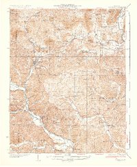
1935 · Piedmont
USGS Topo · 1:62,500
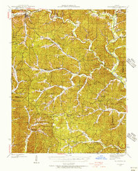
1943 · Ellington
USGS Topo · 1:62,500
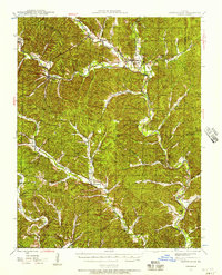
1943 · Lesterville
USGS Topo · 1:62,500
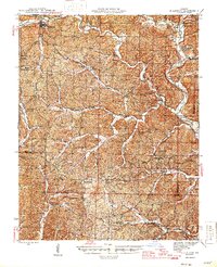
1945 · Ellington
USGS Topo · 1:62,500
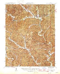
1946 · Lesterville
USGS Topo · 1:62,500

1949 · Rolla
USGS Topo · 1:250,000
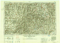
1953 · Rolla
USGS Topo · 1:250,000