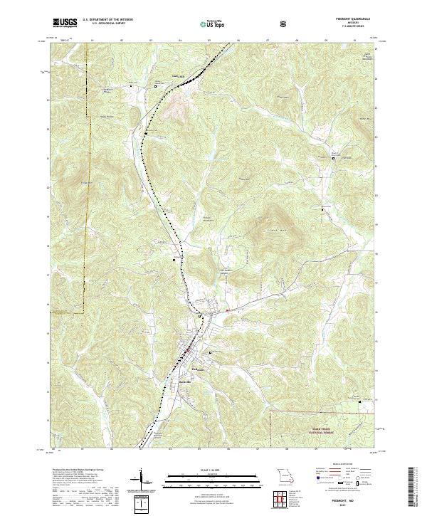
2021 Map of Piedmont
USGS Topo · Published 2021About this map
Piedmont and the adjacent settlement of Beckville occupy a central valley in this modern survey of the Saint Francois Mountains. The surrounding hills are dotted with family burial grounds and small community landmarks, reflecting a deep-rooted genealogical history. In the northern reaches, Gads Hill marks a point of historical interest near the Reynolds and Wayne county line. The terrain is defined by named peaks such as Clark Mtn and Grassy Mtn, while the Mark Twain National Forest encompasses much of the wooded land to the south.
Find a feature on this map
98 named features on this map. Tap any name to fly to it.
Don’t see what you’re looking for? This feature index may not catch every label — zoom into the map to look around manually.
Map Details
Editions of this 2021 Piedmont Map
This is the sole edition of this map. No revisions or reprints were ever made.
Other maps of this area

1926 · Des Arc
USGS Topo · 1:62,500

1929 · Des Arc
USGS Topo · 1:62,500

1932 · Piedmont
USGS Topo · 1:62,500

1935 · Piedmont
USGS Topo · 1:62,500

1943 · Ellington
USGS Topo · 1:62,500

1943 · Lesterville
USGS Topo · 1:62,500

1945 · Ellington
USGS Topo · 1:62,500

1946 · Lesterville
USGS Topo · 1:62,500

1949 · Rolla
USGS Topo · 1:250,000

1953 · Rolla
USGS Topo · 1:250,000