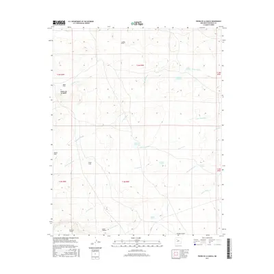
2017 Map of Piedra De La Aguila
USGS Topo · Published 2017About this map
Piedra de la Aguila rises as a prominent landmark in this high-desert region of Northwest New Mexico, where the landscape is defined by an intricate network of seasonal waterways and ephemeral basins. The drainage patterns of Arroyo Techillas and Arroyo Leon reveal a complex system of local catchment, evidenced by several named lagunas such as Laguna Techillas, Laguna Huero, and Laguna Trujillo. These water features, alongside Tinaja Lake in the south, suggest the critical importance of water management and natural storage in this arid environment. The terrain is further characterized by deep incisions like Cañon Largo and Cañon Chamiso, which provide natural corridors through the mesa country. This 2017 survey documents the intersection of McKinley County's topographic relief, from the heights of Mesita Gato to the broad basin of Banco del Encierro.
Find a feature on this map
25 named features on this map. Tap any name to fly to it.
Don’t see what you’re looking for? This feature index may not catch every label — zoom into the map to look around manually.
Map Details
Editions of this 2017 Piedra De La Aguila Map
This is the sole edition of this map. No revisions or reprints were ever made.
Other maps of this area
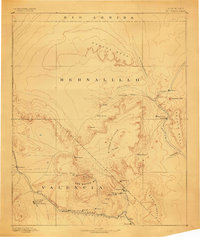
1883 · Mt. Taylor
USGS Topo · 1:250,000
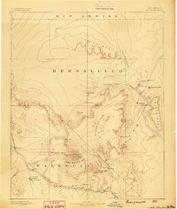
1886 · Mt. Taylor
USGS Topo · 1:250,000
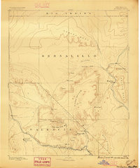
1892 · Mt. Taylor
USGS Topo · 1:250,000
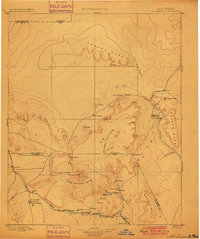
1899 · Mt. Taylor
USGS Topo · 1:250,000
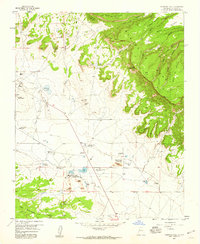
1957 · Ambrosia Lake
USGS Topo · 1:24,000
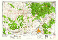
1958 · Albuquerque
USGS Topo · 1:250,000
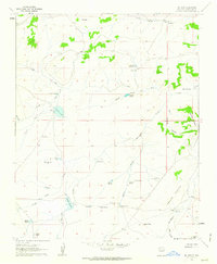
1961 · El Dado
USGS Topo · 1:24,000
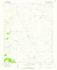
1961 · Piedra De La Aguila
USGS Topo · 1:24,000
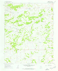
1961 · Hospah
USGS Topo · 1:24,000
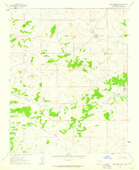
1961 · Mesita Americana
USGS Topo · 1:24,000