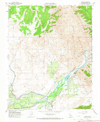
1965 Map of Piedra
USGS Topo · Published 1966About this map
The Kings River cuts a prominent path through this mid-1960s landscape, serving as the hydraulic engine for a dense network of irrigation infrastructure including the Friant-Kern Canal, Alta Canal, and Consolidated Canal. This complex web of waterways supported the agricultural development of the region, from the foothill settlements of Piedra and Gravesboro to the fertile stretches of Tivy Valley.
Find a feature on this map
50 named features on this map. Tap any name to fly to it.
Don’t see what you’re looking for? This feature index may not catch every label — zoom into the map to look around manually.
Map Details
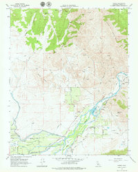
Editions of this 1965 Piedra Map
2 editions found
Other maps of this area

1920 · Orangedale School
USGS Topo · 1:24,000

1921 · Squaw Valley
USGS Topo · 1:31,680

1922 · Round Mountain
USGS Topo · 1:31,680

1922 · Trimmer
USGS Topo · 1:96,000

1923 · Academy
USGS Topo · 1:31,680

1923 · Orangedale School
USGS Topo · 1:31,680

1923 · Wahtoke
USGS Topo · 1:31,680

1923 · Sanger
USGS Topo · 1:31,680

1924 · Citrus Cove
USGS Topo · 1:31,680

1924 · Dinuba
USGS Topo · 1:125,000