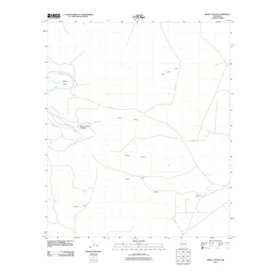
2010 Map of Pierce Canyon
USGS Topo · Published 2010About this map
The Pecos River carves a winding path through this corner of Eddy County, forming the distinctive Malaga Bend in the northwest. This landscape is defined by its drainage patterns and water management infrastructure, most notably the Livingston Canal which runs parallel to the river before striking east. The terrain is deeply grooved by various natural conduits such as Dog Town Draw and Wood Draw, which channel seasonal runoff toward the primary river valley.
Find a feature on this map
13 named features on this map. Tap any name to fly to it.
Don’t see what you’re looking for? This feature index may not catch every label — zoom into the map to look around manually.
Map Details
Editions of this 2010 Pierce Canyon Map
This is the sole edition of this map. No revisions or reprints were ever made.
Other maps of this area

1939 · Carlsbad
USGS Topo · 1:62,500

1939 · Nash Draw
USGS Topo · 1:62,500

1943 · Carlsbad
USGS Topo · 1:62,500

1943 · Nash Draw
USGS Topo · 1:62,500

1945 · Malaga
USGS Topo · 1:62,500

1946 · Malaga
USGS Topo · 1:62,500

1954 · Carlsbad
USGS Topo · 1:250,000

1954 · Hobbs
USGS Topo · 1:250,000

1958 · Carlsbad
USGS Topo · 1:250,000

1958 · Hobbs
USGS Topo · 1:250,000