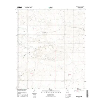
2017 Map of Pierce Canyon
USGS Topo · Published 2017About this map
The Pecos River carves a winding path through this corner of Eddy County, defining the local geography with the sharp oxbow of Malaga Bend. This arid landscape is deeply etched by numerous seasonal drainages, including the expansive Pierce Canyon and Wood Draw. The presence of the Livingston Canal running parallel to the river highlights the critical role of water management in this New Mexico environment. Local transit is marked by several established routes through the brush, notably McDonald Rd and Gavalin Rd, which connect the scattered canyons and draws. The area's character is one of a desert wash system, where features like Dog Town Draw and Pickett Draw serve as the primary landmarks in an otherwise open terrain.
Find a feature on this map
14 named features on this map. Tap any name to fly to it.
Don’t see what you’re looking for? This feature index may not catch every label — zoom into the map to look around manually.
Map Details
Editions of this 2017 Pierce Canyon Map
This is the sole edition of this map. No revisions or reprints were ever made.
Other maps of this area
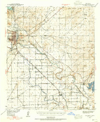
1939 · Carlsbad
USGS Topo · 1:62,500
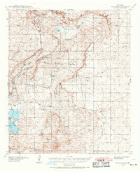
1939 · Nash Draw
USGS Topo · 1:62,500
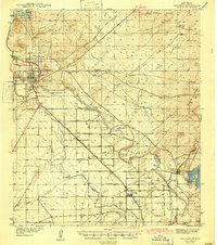
1943 · Carlsbad
USGS Topo · 1:62,500
1943 · Nash Draw
USGS Topo · 1:62,500
1945 · Malaga
USGS Topo · 1:62,500
1946 · Malaga
USGS Topo · 1:62,500

1954 · Carlsbad
USGS Topo · 1:250,000

1954 · Hobbs
USGS Topo · 1:250,000

1958 · Carlsbad
USGS Topo · 1:250,000

1958 · Hobbs
USGS Topo · 1:250,000