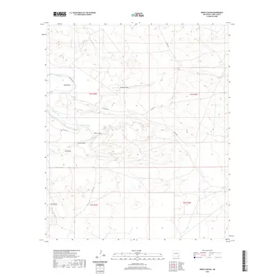
2020 Map of Pierce Canyon
USGS Topo · Published 2020About this map
Pecos River serpentines through the northern reaches of this Eddy County landscape, creating the sharp oxbow known as Malaga Bend. The terrain is defined by an intricate network of drainage patterns and seasonal watercourses, including Dog Town Draw and Wood Draw, which cut through the limestone and gypsum soils of the Chihuahuan Desert. Historically significant irrigation infrastructure is prominent here, with both the Harroun Canal and Livingston Canal tracing the contours of the river valley to support regional agriculture.
Find a feature on this map
15 named features on this map. Tap any name to fly to it.
Don’t see what you’re looking for? This feature index may not catch every label — zoom into the map to look around manually.
Map Details
Editions of this 2020 Pierce Canyon Map
This is the sole edition of this map. No revisions or reprints were ever made.
Other maps of this area

1939 · Carlsbad
USGS Topo · 1:62,500

1939 · Nash Draw
USGS Topo · 1:62,500

1943 · Carlsbad
USGS Topo · 1:62,500

1943 · Nash Draw
USGS Topo · 1:62,500

1945 · Malaga
USGS Topo · 1:62,500

1946 · Malaga
USGS Topo · 1:62,500

1954 · Carlsbad
USGS Topo · 1:250,000

1954 · Hobbs
USGS Topo · 1:250,000

1958 · Carlsbad
USGS Topo · 1:250,000

1958 · Hobbs
USGS Topo · 1:250,000