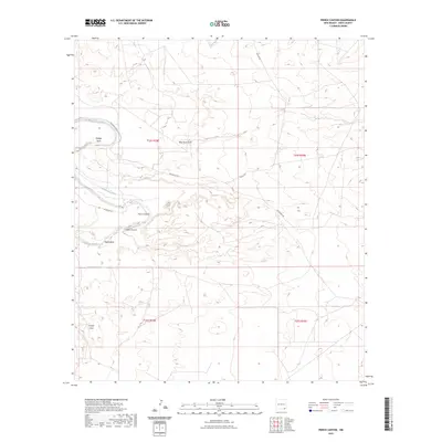
2023 Map of Pierce Canyon
USGS Topo · Published 2023About this map
The Pecos River carves a sharp serpentine path through this arid landscape, most notably at the prominent Malaga Bend. This 2023 edition documents a region defined by its complex drainage network and early irrigation infrastructure. Landowners and historians can trace the paths of the Livingston Canal and Harroun Canal, which parallel the river and provide a window into the hydraulic management of this Chihuahuan Desert environment.
Find a feature on this map
15 named features on this map. Tap any name to fly to it.
Don’t see what you’re looking for? This feature index may not catch every label — zoom into the map to look around manually.
Map Details
Editions of this 2023 Pierce Canyon Map
This is the sole edition of this map. No revisions or reprints were ever made.
Other maps of this area

1939 · Carlsbad
USGS Topo · 1:62,500

1939 · Nash Draw
USGS Topo · 1:62,500

1943 · Carlsbad
USGS Topo · 1:62,500

1943 · Nash Draw
USGS Topo · 1:62,500

1945 · Malaga
USGS Topo · 1:62,500

1946 · Malaga
USGS Topo · 1:62,500

1954 · Carlsbad
USGS Topo · 1:250,000

1954 · Hobbs
USGS Topo · 1:250,000

1958 · Carlsbad
USGS Topo · 1:250,000

1958 · Hobbs
USGS Topo · 1:250,000