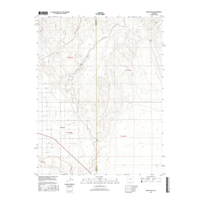
2016 Map of Pierce Gulch
USGS Topo · Published 2016About this map
The town of Penrose sits as a primary center of settlement in this landscape where the high plains meet the mountain foothills. The grid of residential streets is intersected by irrigation infrastructure, most notably the Beaver Park Ditch, which redirects water to support local agriculture and development in an otherwise arid environment. To the south, the community of Concrete lies near the Arkansas River, a corridor historically vital for industrial transportation and water access along the Old Portland Rd. The eastern portion of the survey is dominated by significant relief, including Booth Mtn and deep drainages like Salt Canyon and Pierce Gulch. These features, along with Red Creek and Beaver Cr, illustrate the complex drainage patterns that define the Fremont and Pueblo county line. The map highlights a transition from the established street blocks of the valley to the more primitive trails such as the Kokopelli Trl and Kodiak Trl in the northern uplands.
Find a feature on this map
43 named features on this map. Tap any name to fly to it.
Don’t see what you’re looking for? This feature index may not catch every label — zoom into the map to look around manually.
Map Details
Editions of this 2016 Pierce Gulch Map
This is the sole edition of this map. No revisions or reprints were ever made.
Other maps of this area
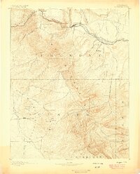
1889 · Canon City
USGS Topo · 1:125,000
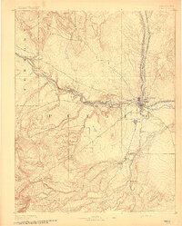
1891 · Pueblo
USGS Topo · 1:125,000
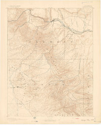
1892 · Canon City
USGS Topo · 1:125,000
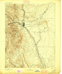
1893 · Colorado Springs
USGS Topo · 1:125,000
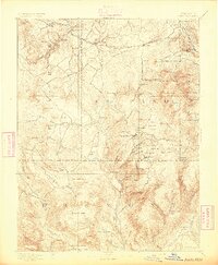
1894 · Pikes Peak
USGS Topo · 1:125,000
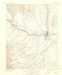
1894 · Pueblo
USGS Topo · 1:125,000
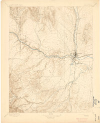
1896 · Pueblo
USGS Topo · 1:125,000
1897 · Pueblo
USGS Topo · 1:125,000
1901 · Pikes Peak
USGS Topo · 1:125,000
1909 · Colorado Springs
USGS Topo · 1:125,000