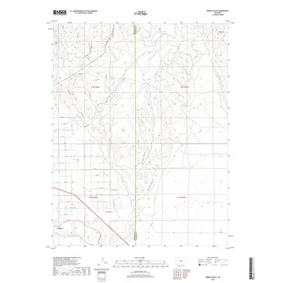
2019 Map of Pierce Gulch
USGS Topo · Published 2019About this map
Concrete sits along the northern bank of the Arkansas River in this 2019 survey of the Fremont and Pueblo county border. The landscape is defined by the sharp transition from the river valley to the dissected uplands of Booth Mtn, with numerous drainages like Pierce Gulch and Green Gulch carving south toward the river. This modern topographic record shows a complex network of numbered streets and specialized trails such as Top Notch Trl and Kodiak Trl, reflecting the area's development and recreational usage. The engineering of the high desert is visible in the Beaver Park Ditch and the path of the Old Portland Rd, which trace the contours of the land. These features illustrate the intersection of historical water rights and contemporary access in the rugged canyons north of the river, providing a precise look at how the terrain around Red Creek and Salt Canyon is managed and navigated today.
Find a feature on this map
47 named features on this map. Tap any name to fly to it.
Don’t see what you’re looking for? This feature index may not catch every label — zoom into the map to look around manually.
Map Details
Editions of this 2019 Pierce Gulch Map
This is the sole edition of this map. No revisions or reprints were ever made.
Other maps of this area
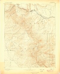
1889 · Canon City
USGS Topo · 1:125,000
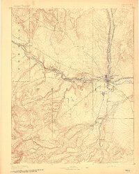
1891 · Pueblo
USGS Topo · 1:125,000
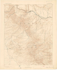
1892 · Canon City
USGS Topo · 1:125,000
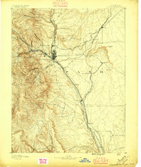
1893 · Colorado Springs
USGS Topo · 1:125,000
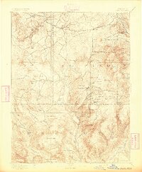
1894 · Pikes Peak
USGS Topo · 1:125,000
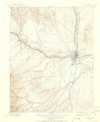
1894 · Pueblo
USGS Topo · 1:125,000
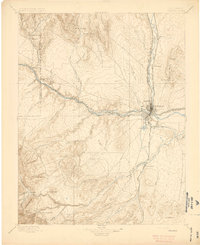
1896 · Pueblo
USGS Topo · 1:125,000
1897 · Pueblo
USGS Topo · 1:125,000
1901 · Pikes Peak
USGS Topo · 1:125,000
1909 · Colorado Springs
USGS Topo · 1:125,000