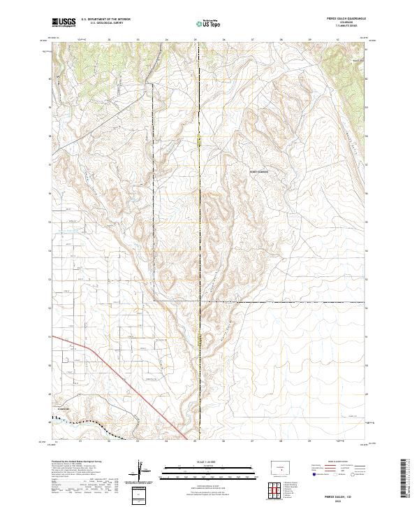
2022 Map of Pierce Gulch
USGS Topo · Published 2022About this map
Concrete lies in the southern reach of this landscape, situated near the banks of the Arkansas River where industrial and transport lines converge. The terrain is defined by a series of significant drainages, including Pierce Gulch and Green Gulch, which cut through the high ground north of the river. The presence of the Beaver Park Ditch indicates a complex history of water management and irrigation necessary for settlement in this part of Fremont County. Higher elevations are marked by landmarks like Booth Mtn and the steep descents of Booth Gulch in the northeast.
Find a feature on this map
47 named features on this map. Tap any name to fly to it.
Don’t see what you’re looking for? This feature index may not catch every label — zoom into the map to look around manually.
Map Details
Editions of this 2022 Pierce Gulch Map
This is the sole edition of this map. No revisions or reprints were ever made.
Other maps of this area

1889 · Canon City
USGS Topo · 1:125,000

1891 · Pueblo
USGS Topo · 1:125,000

1892 · Canon City
USGS Topo · 1:125,000

1893 · Colorado Springs
USGS Topo · 1:125,000

1894 · Pikes Peak
USGS Topo · 1:125,000

1894 · Pueblo
USGS Topo · 1:125,000

1896 · Pueblo
USGS Topo · 1:125,000

1897 · Pueblo
USGS Topo · 1:125,000

1901 · Pikes Peak
USGS Topo · 1:125,000

1909 · Colorado Springs
USGS Topo · 1:125,000