2022 Map of Pierceville
USGS Topo · Published 2022About this map
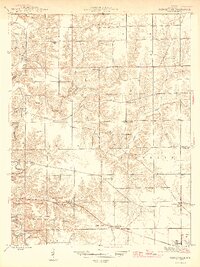
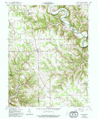
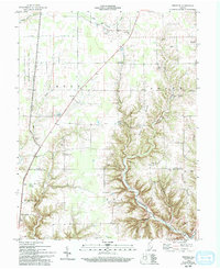
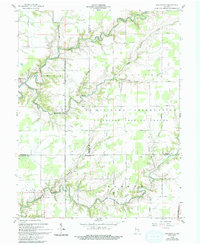
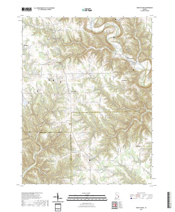
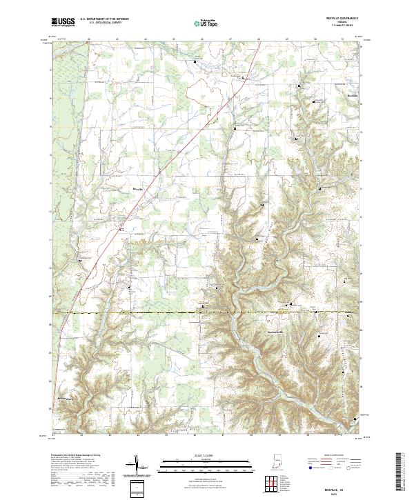
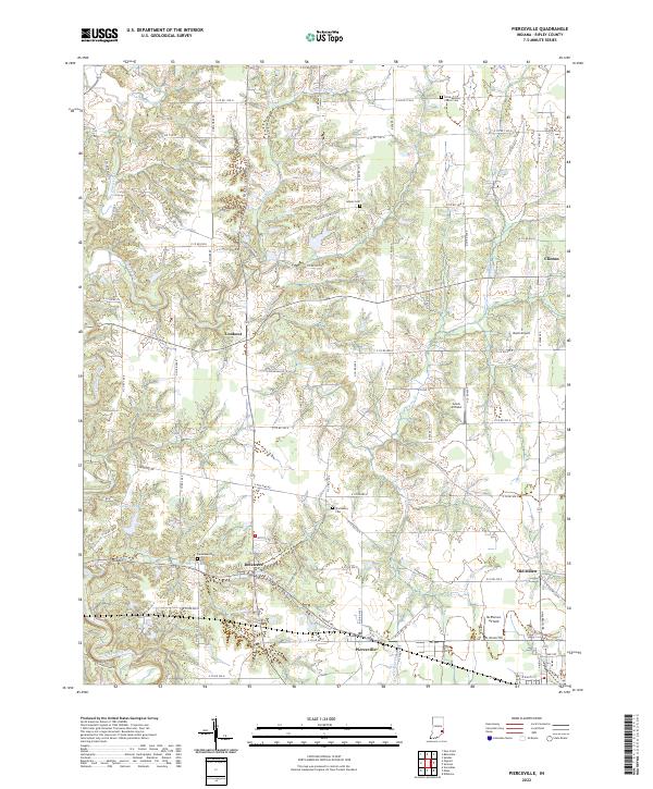
Pierceville and Old Milan anchor this portion of the Ripley County landscape, where the terrain is deeply dissected by the winding courses of Laughery Creek and Ripley Creek. The area is characterized by a dense grid of rural roads and scattered small settlements like Delaware, Lookout, and Clinton, reflecting the region's enduring agricultural layout and localized community centers. Genealogical researchers will find significant value in the documentation of local burial grounds, including the Little Memory Church Cem in the north and the centrally located Prattsburg Cem. A notable characteristic of this area is the prevalence of small private landing strips, with McPherson Airfield, Buell Airport, and Lewis Airfield punctuating the rural township lines. The transition between t9n r12e and t8n r12e highlights the organized division of land that has governed this corner of Indiana for generations.
Find a feature on this map
67 named features on this map. Tap any name to fly to it.
Don’t see what you’re looking for? This feature index may not catch every label — zoom into the map to look around manually.
Map Details
Editions of this 2022 Pierceville Map
This is the sole edition of this map. No revisions or reprints were ever made.
Historical Maps of Stumpke Corner Through Time
9 maps found