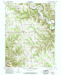
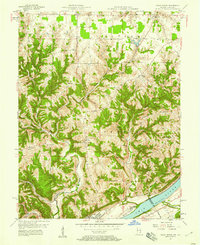
1959 Map of Cross Plains
USGS Topo · Published 1994About this map
Laughery Creek carves a deep, winding valley through this corner of Southeastern Indiana, defining the rugged geography where Ripley, Jefferson, Switzerland, and Ohio counties meet. Small agricultural crossroads like Cross Plains, Friendship, and Olean serve as the primary nodes of activity, connected by a network of ridge-top roads and creek-bottom passages. The landscape is notably dotted with local landmarks significant to genealogists, including Wesley Chapel and the Township Sch, alongside numerous family and church burial grounds like Arford Cem and Nickolson Cem. The intricate drainage patterns of Raccoon Creek and Bear Creek illustrate the dissected plateau characteristic of the region. This 1950s survey preserves the placement of rural institutions such as Pleasant Grove Ch and St Pauls Ch before modern consolidation, offering a clear view of the mid-century social and physical landscape.
Find a feature on this map
59 named features on this map. Tap any name to fly to it.
Don’t see what you’re looking for? This feature index may not catch every label — zoom into the map to look around manually.
Map Details
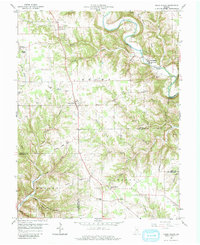
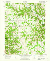
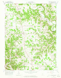
Editions of this 1959 Cross Plains Map
4 editions found
Other maps of this area

1943 · Vevay North
USGS Topo · 1:24,000

1946 · Versailles
USGS Topo · 1:24,000

1946 · Milan
USGS Topo · 1:24,000

1953 · Cincinnati
USGS Topo · 1:250,000

1956 · Bennington
USGS Topo · 1:24,000

1956 · Canaan
USGS Topo · 1:24,000

1956 · Louisville
USGS Topo · 1:250,000

1957 · Cincinnati
USGS Topo · 1:250,000
1957 · Vevay North
USGS Topo · 1:24,000

1958 · Dillsboro
USGS Topo · 1:24,000