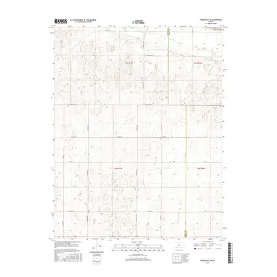
2016 Map of Pierceville SW
USGS Topo · Published 2016About this map
The Arkansas River cuts across the northern corner of this agricultural landscape along the border of Finney Co and Gray Co. This 2016 survey illustrates a meticulously surveyed grid of township and range lines, where T25S and T26S meet R31W and R30W. The terrain is defined by a dense network of local routes that support the regional farm economy, including named thoroughfares such as S Pierceville Rd, S Beefland Rd, and S Hutton Rd. While the landscape is largely dominated by open land and seasonal water catchments, the naming of roads like Annie Sheer Rd and Lear Rd provides evidence of local history and family legacy in this section of the High Plains. Lateral movement across the quadrangle is facilitated by long stretches of road such as E Plymell Rd and E Craft Rd, which connect the disparate farmsteads and fields of the region.
Find a feature on this map
26 named features on this map. Tap any name to fly to it.
Don’t see what you’re looking for? This feature index may not catch every label — zoom into the map to look around manually.
Map Details
Editions of this 2016 Pierceville SW Map
This is the sole edition of this map. No revisions or reprints were ever made.
Other maps of this area
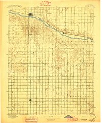
1896 · Garden
USGS Topo · 1:125,000

1955 · Dodge City
USGS Topo · 1:250,000

1958 · Dodge City
USGS Topo · 1:250,000

1959 · Dodge City
USGS Topo · 1:250,000
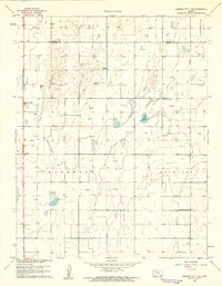
1959 · Garden City 3 NE
USGS Topo · 1:24,000
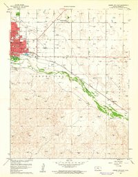
1960 · Garden City East
USGS Topo · 1:24,000
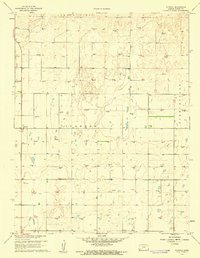
1960 · Plymell
USGS Topo · 1:24,000
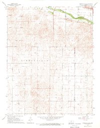
1967 · Pierceville SW
USGS Topo · 1:24,000
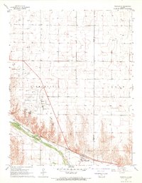
1967 · Pierceville
USGS Topo · 1:24,000
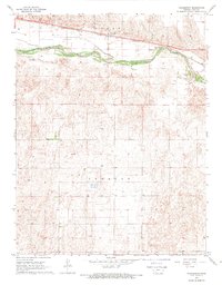
1968 · Charleston
USGS Topo · 1:24,000