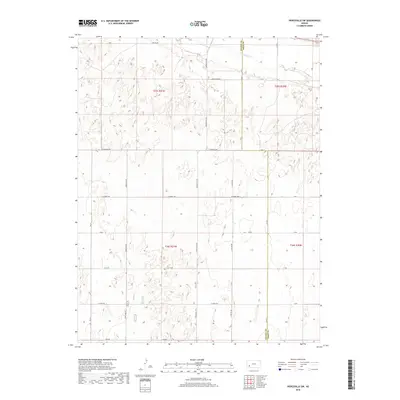
2018 Map of Pierceville SW
USGS Topo · Published 2018About this map
The Arkansas River cuts across the northern edge of this high-plains landscape, marking a vital hydrological corridor in an otherwise arid expanse of Finney County. The area is defined by its rigorous section-line road network, a signature of the Public Land Survey System that carved the Kansas prairie into productive agricultural blocks. Notable thoroughfares like S Pierceville Rd, S Beefland Rd, and S Hutton Rd illustrate the systematic organization of the land into townships such as t25s r31w and t26s r31w. The topography is characterized by subtle depressions and low rises, with the county line at Finney Co Gray Co forming the eastern boundary of the map. This 2018 survey provides a clear view of the modern rural infrastructure, including secondary routes like Lear Rd and E Craft Rd that facilitate access to this vast, open territory.
Find a feature on this map
26 named features on this map. Tap any name to fly to it.
Don’t see what you’re looking for? This feature index may not catch every label — zoom into the map to look around manually.
Map Details
Editions of this 2018 Pierceville SW Map
This is the sole edition of this map. No revisions or reprints were ever made.
Other maps of this area
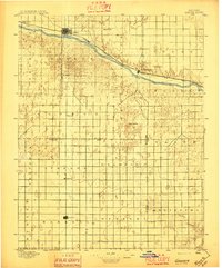
1896 · Garden
USGS Topo · 1:125,000

1955 · Dodge City
USGS Topo · 1:250,000

1958 · Dodge City
USGS Topo · 1:250,000

1959 · Dodge City
USGS Topo · 1:250,000
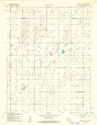
1959 · Garden City 3 NE
USGS Topo · 1:24,000
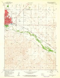
1960 · Garden City East
USGS Topo · 1:24,000
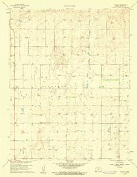
1960 · Plymell
USGS Topo · 1:24,000
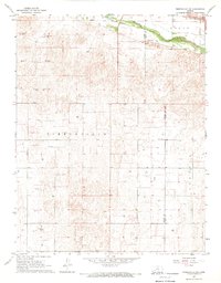
1967 · Pierceville SW
USGS Topo · 1:24,000
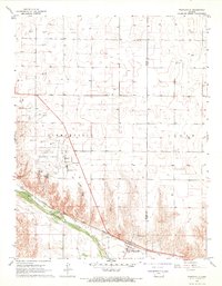
1967 · Pierceville
USGS Topo · 1:24,000
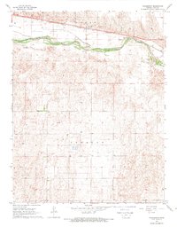
1968 · Charleston
USGS Topo · 1:24,000