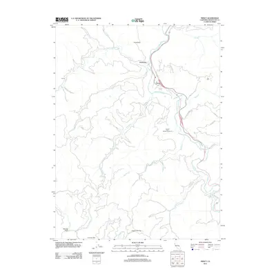
2012 Map of Piercy
USGS Topo · Published 2012About this map
Piercy and Andersonia are the primary centers of activity in this part of northern Mendocino County, situated along the winding course of the S Fork Eel River. The landscape is defined by its dramatic elevation changes, with named points such as Chimney Rock and Dugans Opening overlooking a dense network of watercourses including Indian Cr and Standley Cr. The presence of established properties like Medcalf Ranch and Rice Ranch suggests a long-standing history of rural land use and agriculture in this river valley region.
Find a feature on this map
30 named features on this map. Tap any name to fly to it.
Don’t see what you’re looking for? This feature index may not catch every label — zoom into the map to look around manually.
Map Details
Editions of this 2012 Piercy Map
This is the sole edition of this map. No revisions or reprints were ever made.
Other maps of this area

1920 · Cummings
USGS Topo · 1:62,500

1920 · Harris
USGS Topo · 1:62,500

1921 · Briceland
USGS Topo · 1:62,500

1949 · Alderpoint
USGS Topo · 1:62,500

1949 · Garberville
USGS Topo · 1:62,500

1950 · Piercy
USGS Topo · 1:62,500

1951 · Alderpoint
USGS Topo · 1:62,500

1951 · Garberville
USGS Topo · 1:62,500

1952 · Leggett
USGS Topo · 1:62,500

1957 · Ukiah
USGS Topo · 1:250,000