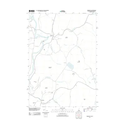
2012 Map of Piermont
USGS Topo · Published 2012About this map
The Connecticut River defines the western edge of this landscape, separating the New Hampshire communities from Vermont as it winds through the valley. The settlement of Piermont sits at a transition point where Eastman Brook descends toward the river, while to the south, the village of Orfordville is positioned near the junction of Jacobs Brook and Archertown Brook. This area is characterized by significant topographical relief, with Mount Cube and Indian Pond Mountain dominating the eastern heights.
Find a feature on this map
64 named features on this map. Tap any name to fly to it.
Don’t see what you’re looking for? This feature index may not catch every label — zoom into the map to look around manually.
Map Details
Editions of this 2012 Piermont Map
This is the sole edition of this map. No revisions or reprints were ever made.
Other maps of this area

1928 · Rumney
USGS Topo · 1:62,500

1929 · Moosilauke
USGS Topo · 1:62,500

1931 · Mt. Cube
USGS Topo · 1:62,500

1931 · Woodsville
USGS Topo · 1:48,000

1932 · Rumney
USGS Topo · 1:62,500

1932 · Moosilauke
USGS Topo · 1:62,500

1933 · Mt. Cube
USGS Topo · 1:62,500

1935 · Woodsville
USGS Topo · 1:62,500

1941 · Woodsville
USGS Topo · 1:62,500

1949 · Portland
USGS Topo · 1:250,000