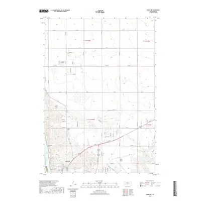
2017 Map of Pierre NE
USGS Topo · Published 2017About this map
The capital city of Pierre sits at a critical bend where the Missouri River feeds into Lake Sharpe, anchoring this 2017 survey of Hughes County. The landscape is defined by several prominent ravines and geographic depressions, including Hilgers Gulch, Monkhouse Gulch, and Whiskey Gulch, which carve through the plains toward the riverfront. To the north, Snake Butte provides a distinct topographic landmark amidst a grid of rural section lines and access roads like 290th Ave.
Find a feature on this map
82 named features on this map. Tap any name to fly to it.
Don’t see what you’re looking for? This feature index may not catch every label — zoom into the map to look around manually.
Map Details
Editions of this 2017 Pierre NE Map
This is the sole edition of this map. No revisions or reprints were ever made.
Other maps of this area
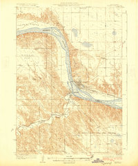
1924 · Pierre
USGS Topo · 1:62,500
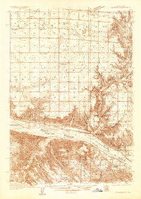
1934 · Canning
USGS Topo · 1:48,000
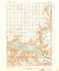
1937 · Canning
USGS Topo · 1:62,500
1953 · Pierre SW
USGS Topo · 1:24,000
1954 · Pierre
USGS Topo · 1:250,000
1958 · Pierre
USGS Topo · 1:250,000
1967 · Pierre NE
USGS Topo · 1:24,000
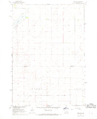
1967 · Onida SW
USGS Topo · 1:24,000
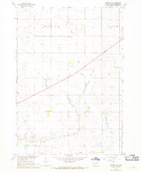
1967 · Canning NW
USGS Topo · 1:24,000
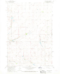
1967 · Okobojo SE
USGS Topo · 1:24,000