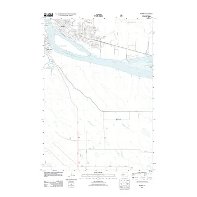
2012 Map of Pierre
USGS Topo · Published 2012About this map
Pierre and Fort Pierre flank the Missouri River at its confluence with the Bad River on this 2012 survey. The landscape is dominated by the expansive Lake Sharpe, which surrounds La Framboise Island and Farm Island to the southeast. The urban street grid of the state capital is clearly defined, reaching from the riverbanks toward the Pierre Regional Airport on the northeastern plateau. Beyond the city center, the terrain transitions into a drainage network of intermittent streams like Dry Run and Gray Blanket Cr. This edition captures the capital region's modern infrastructure, showing the residential expansion along E Sioux Ave and Islands View Dr, as well as the established grounds of the Riverside Cem near the eastern edge of the city.
Find a feature on this map
47 named features on this map. Tap any name to fly to it.
Don’t see what you’re looking for? This feature index may not catch every label — zoom into the map to look around manually.
Map Details
Editions of this 2012 Pierre Map
This is the sole edition of this map. No revisions or reprints were ever made.
Other maps of this area
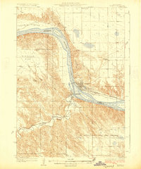
1924 · Pierre
USGS Topo · 1:62,500
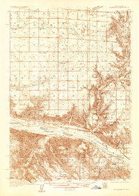
1934 · Canning
USGS Topo · 1:48,000
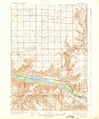
1937 · Canning
USGS Topo · 1:62,500
1953 · Pierre SW
USGS Topo · 1:24,000
1953 · Pierre 3 NW
USGS Topo · 1:24,000
1954 · Pierre
USGS Topo · 1:250,000
1958 · Pierre
USGS Topo · 1:250,000
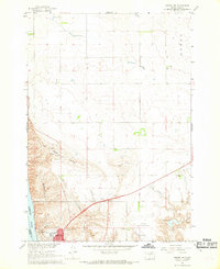
1967 · Pierre NE
USGS Topo · 1:24,000
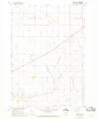
1967 · Canning NW
USGS Topo · 1:24,000
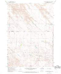
1967 · Ft. George Butte NW
USGS Topo · 1:24,000