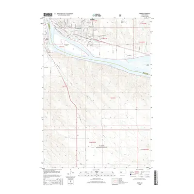
2015 Map of Pierre
USGS Topo · Published 2015About this map
Pierre and Fort Pierre sit at the strategic confluence where the Bad River meets the Missouri River, a geographic relationship that has defined the capital city's history. This 2015 layout shows the urban core of Pierre, including its state capitol vicinity near Hilgers Gulch and the grid of residential streets such as W Capitol Ave and E Wells Ave. South of the city center, the Missouri widens into Lake Sharpe, dominated by the large river islands of La Framboise Island and Farm Island. To the south, the terrain shifts from the river valley to the expansive plains of the Ft. Pierre National Grassland, where the land is carved by smaller seasonal drainages like Gray Blanket Cr and Antelope Cr. The map also captures the city's peripheral infrastructure, including the Riverside Cem and the Pierre Regional Airport to the east.
Find a feature on this map
55 named features on this map. Tap any name to fly to it.
Don’t see what you’re looking for? This feature index may not catch every label — zoom into the map to look around manually.
Map Details
Editions of this 2015 Pierre Map
This is the sole edition of this map. No revisions or reprints were ever made.
Other maps of this area
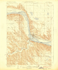
1924 · Pierre
USGS Topo · 1:62,500
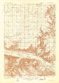
1934 · Canning
USGS Topo · 1:48,000
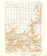
1937 · Canning
USGS Topo · 1:62,500
1953 · Pierre SW
USGS Topo · 1:24,000
1953 · Pierre 3 NW
USGS Topo · 1:24,000
1954 · Pierre
USGS Topo · 1:250,000
1958 · Pierre
USGS Topo · 1:250,000
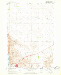
1967 · Pierre NE
USGS Topo · 1:24,000
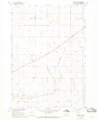
1967 · Canning NW
USGS Topo · 1:24,000
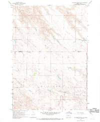
1967 · Ft. George Butte NW
USGS Topo · 1:24,000