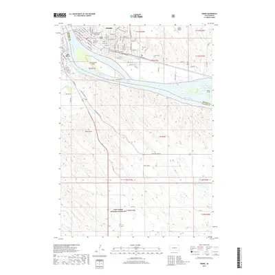
2017 Map of Pierre
USGS Topo · Published 2017About this map
The Pierre riverfront and the neighboring community of Fort Pierre sit at the confluence of the Missouri River and the Bad River. This mid-2010s survey captures the state capital's modern layout, from the residential streets surrounding Hilgers Gulch to the expansive Fort Pierre National Grassland dominating the southern portion of the sheet. The river itself is a primary focus, featuring La Framboise Island and Farm Island within the waters of Lake Sharpe. Significant local landmarks are identified, including the Fighting Stallions Memorial and the Riverside Cem. In the rural stretches of Stanley Co and Hughes Co, smaller waterways like Gray Blanket Cr and Antelope Cr carve through the prairie landscape, illustrating the topographic transition from the settled river valley to the high grasslands.
Find a feature on this map
76 named features on this map. Tap any name to fly to it.
Don’t see what you’re looking for? This feature index may not catch every label — zoom into the map to look around manually.
Map Details
Editions of this 2017 Pierre Map
This is the sole edition of this map. No revisions or reprints were ever made.
Other maps of this area
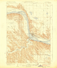
1924 · Pierre
USGS Topo · 1:62,500
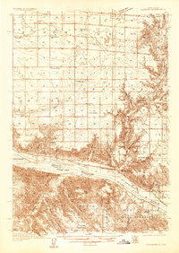
1934 · Canning
USGS Topo · 1:48,000
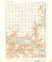
1937 · Canning
USGS Topo · 1:62,500
1953 · Pierre SW
USGS Topo · 1:24,000
1953 · Pierre 3 NW
USGS Topo · 1:24,000
1954 · Pierre
USGS Topo · 1:250,000
1958 · Pierre
USGS Topo · 1:250,000
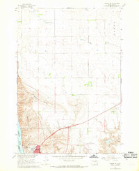
1967 · Pierre NE
USGS Topo · 1:24,000
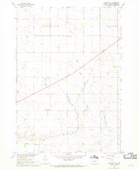
1967 · Canning NW
USGS Topo · 1:24,000
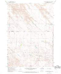
1967 · Ft. George Butte NW
USGS Topo · 1:24,000