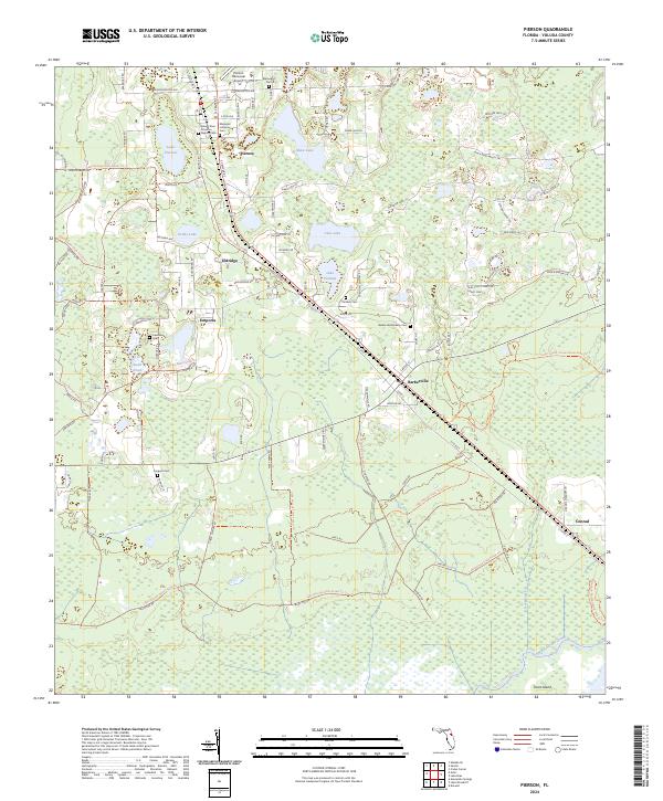
2024 Map of Pierson
USGS Topo · Published 2024About this map
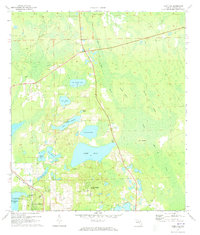
Pierson serves as a central hub in this corner of Volusia County, where the CSX railroad corridor anchors a string of rural settlements. The landscape transitions from the residential grids of town into the sprawling wetlands of the Lake Woodruff National Wildlife Refuge and the managed timberlands of the Lake George State Forest. Local history is deeply etched into the land through a series of family and community burial grounds, including the Mount Zion Primitive Baptist Cem and Ebenezer Lutheran Cem. These sites, along with the Pierson Municipal Airport, reflect a community balanced between traditional agricultural roots and modern infrastructure. Further south, the map details the smaller hamlets of Barberville and Eldridge, situated near numerous water bodies like Lake Purdom and Shaw Lake that define the regional geography.
Find a feature on this map
117 named features on this map. Tap any name to fly to it.
Don’t see what you’re looking for? This feature index may not catch every label — zoom into the map to look around manually.
Map Details
Editions of this 2024 Pierson Map
This is the sole edition of this map. No revisions or reprints were ever made.
Other maps of this area

1954 · Daytona Beach
USGS Topo · 1:250,000

1958 · Daytona Beach
USGS Topo · 1:250,000

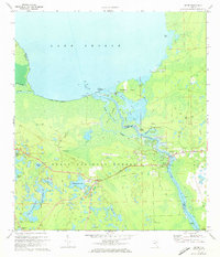
1962 · Lake Woodruff
USGS Topo · 1:24,000

1964 · Daytona Beach
USGS Topo · 1:250,000
1964 · De Land
USGS Topo · 1:24,000
1970 · Welaka SE
USGS Topo · 1:24,000
1970 · Seville
USGS Topo · 1:24,000
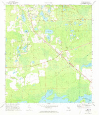
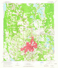
1970 · Pierson
USGS Topo · 1:24,000
1971 · Lake Dias
USGS Topo · 1:24,000
1972 · Astor
USGS Topo · 1:24,000