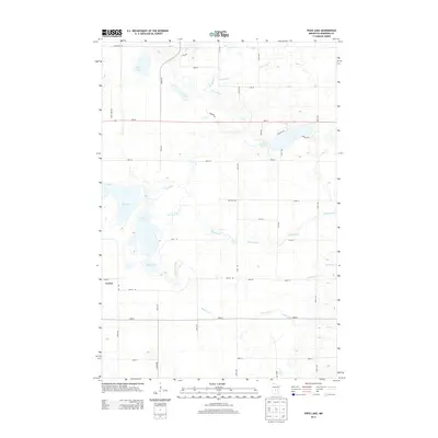
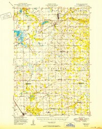
2013 Map of Pierz Lake
USGS Topo · Published 2013About this map
Vawter serves as a primary reference point in this Morrison County landscape, where the prairie begins to break into a complex network of wetlands and small water bodies. The hydrology is dominated by the westward-flowing Platte River and Skunk River, which meander through a patchwork of agricultural plots and rural roads. The area is characterized by several distinct basins, including the large Rice Lake, the central Pierz Lake, and the more isolated Frieze Lake and Pelkey Lake to the north.
Find a feature on this map
45 named features on this map. Tap any name to fly to it.
Don’t see what you’re looking for? This feature index may not catch every label — zoom into the map to look around manually.
Map Details
Editions of this 2013 Pierz Lake Map
This is the sole edition of this map. No revisions or reprints were ever made.
Other maps of this area
1948 · Belle Prairie
USGS Topo · 1:62,500
1948 · Pierz
USGS Topo · 1:62,500
1948 · Lastrup
USGS Topo · 1:62,500
1948 · Little Falls
USGS Topo · 1:62,500
1950 · Lastrup
USGS Topo · 1:62,500
1950 · Belle Prairie
USGS Topo · 1:62,500
1950 · Little Falls
USGS Topo · 1:62,500
1950 · Pierz
USGS Topo · 1:62,500

1953 · Brainerd
USGS Topo · 1:250,000

1953 · Saint Cloud
USGS Topo · 1:250,000