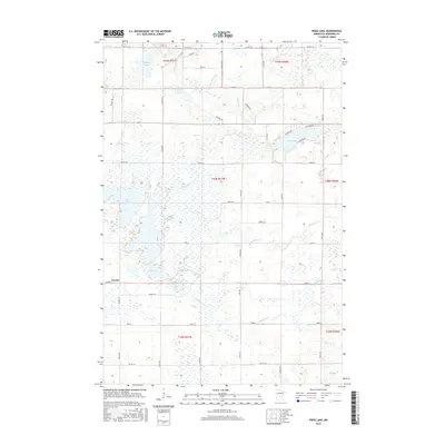
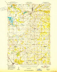
2016 Map of Pierz Lake
USGS Topo · Published 2016About this map
Vawter stands as a primary settlement point in this Morrison County landscape, where the Platte River and Skunk River converge amidst a dense network of wetlands and lakes. The terrain is defined by its glacial hydrology, featuring significant water bodies such as Pierz Lake, Rice Lake, and the expansive Mud Lake to the south. This 2016 survey illustrates how the local road system, including CO Hwy 43 and CO Hwy 35, conforms to the established Public Land Survey System grid, while smaller routes like Agram Blvd and Pine Ridge Rd reflect residential development around the lake shores.
Find a feature on this map
55 named features on this map. Tap any name to fly to it.
Don’t see what you’re looking for? This feature index may not catch every label — zoom into the map to look around manually.
Map Details
Editions of this 2016 Pierz Lake Map
This is the sole edition of this map. No revisions or reprints were ever made.
Other maps of this area
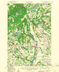
1948 · Belle Prairie
USGS Topo · 1:62,500
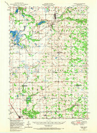
1948 · Pierz
USGS Topo · 1:62,500
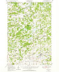
1948 · Lastrup
USGS Topo · 1:62,500
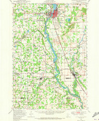
1948 · Little Falls
USGS Topo · 1:62,500
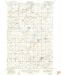
1950 · Lastrup
USGS Topo · 1:62,500
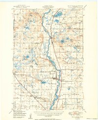
1950 · Belle Prairie
USGS Topo · 1:62,500
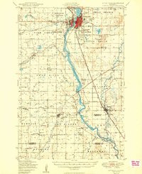
1950 · Little Falls
USGS Topo · 1:62,500
1950 · Pierz
USGS Topo · 1:62,500

1953 · Brainerd
USGS Topo · 1:250,000

1953 · Saint Cloud
USGS Topo · 1:250,000