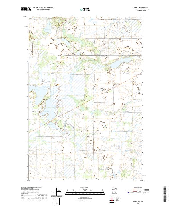
2022 Map of Pierz Lake
USGS Topo · Published 2022About this map
Vawter sits at the southwestern edge of a landscape defined by an extensive network of waterways and wetlands in central Minnesota. The Platte River meanders across the territory, feeding into and out of Rice Lake and the adjacent Mud Lake. This area is a complex hydrological system where Rice Creek, Little Mink Cr, and the Skunk River converge towards the Platte drainage. The conversion of former rail corridors into recreational paths is evident with the Soo Line South: Morrison Trl and the Platte River Trl, which cut diagonally through the township grids. Local transit is supported by a dense web of section-line roads, such as Co HWY 35, Lake Rd, and 103rd St, which provide access to the rural homesteads and agricultural lands that dominate the higher ground between the creek beds and marshy lowlands.
Find a feature on this map
42 named features on this map. Tap any name to fly to it.
Don’t see what you’re looking for? This feature index may not catch every label — zoom into the map to look around manually.
Map Details
Editions of this 2022 Pierz Lake Map
This is the sole edition of this map. No revisions or reprints were ever made.
Other maps of this area

1948 · Belle Prairie
USGS Topo · 1:62,500

1948 · Pierz
USGS Topo · 1:62,500

1948 · Lastrup
USGS Topo · 1:62,500

1948 · Little Falls
USGS Topo · 1:62,500

1950 · Lastrup
USGS Topo · 1:62,500

1950 · Belle Prairie
USGS Topo · 1:62,500

1950 · Little Falls
USGS Topo · 1:62,500

1950 · Pierz
USGS Topo · 1:62,500

1953 · Brainerd
USGS Topo · 1:250,000

1953 · Saint Cloud
USGS Topo · 1:250,000