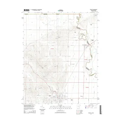
2014 Map of Piggott
USGS Topo · Published 2014About this map
Crowleys Ridge dominates the western topography of this Arkansas-Missouri borderland, where the elevated landform meets the flat alluvial plains of the Mississippi Embayment. The city of Piggott serves as the regional hub at the southern edge of this survey, featuring the Piggott Municipal Airport and a grid of streets that transition into a dense network of county roads. To the east, the Saint Francis River meanders along the state line, creating complex boundaries and shifting watercourses such as Old River and Bass Island.
Find a feature on this map
121 named features on this map. Tap any name to fly to it.
Don’t see what you’re looking for? This feature index may not catch every label — zoom into the map to look around manually.
Map Details
Editions of this 2014 Piggott Map
This is the sole edition of this map. No revisions or reprints were ever made.
Other maps of this area
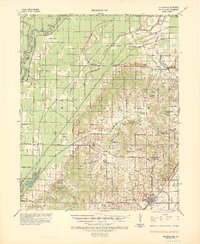
1935 · Rector
USGS Topo · 1:62,500
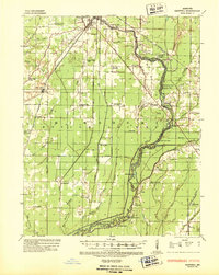
1935 · Harviell
USGS Topo · 1:62,500
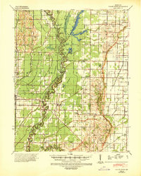
1940 · Valley Ridge
USGS Topo · 1:62,500
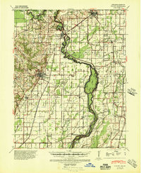
1940 · Piggott
USGS Topo · 1:62,500
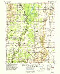
1956 · Valley Ridge
USGS Topo · 1:62,500
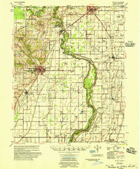
1956 · Piggott
USGS Topo · 1:62,500

1957 · Poplar Bluff
USGS Topo · 1:250,000
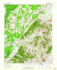
1958 · Rector
USGS Topo · 1:62,500
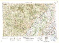
1959 · Poplar Bluff
USGS Topo · 1:250,000
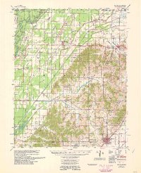
1960 · Rector
USGS Topo · 1:62,500