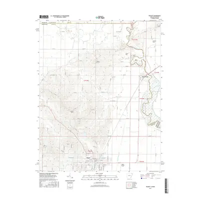
2017 Map of Piggott
USGS Topo · Published 2017About this map
Piggott serves as the focal point of this Clay County landscape, where the flat farmland of the Mississippi Delta meets the rising elevation of Crowleys Ridge. The town's structured street grid and the Piggott Municipal Airport contrast with the winding path of the Saint Francis River to the east. This river corridor, which defines the state line between Arkansas and Missouri, contains complex water features like the Old River oxbow and Bass Island.
Find a feature on this map
88 named features on this map. Tap any name to fly to it.
Don’t see what you’re looking for? This feature index may not catch every label — zoom into the map to look around manually.
Map Details
Editions of this 2017 Piggott Map
This is the sole edition of this map. No revisions or reprints were ever made.
Other maps of this area
1935 · Rector
USGS Topo · 1:62,500
1935 · Harviell
USGS Topo · 1:62,500
1940 · Valley Ridge
USGS Topo · 1:62,500
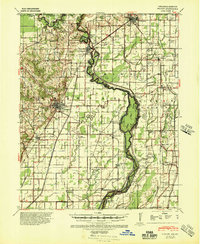
1940 · Piggott
USGS Topo · 1:62,500
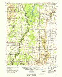
1956 · Valley Ridge
USGS Topo · 1:62,500
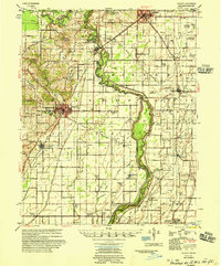
1956 · Piggott
USGS Topo · 1:62,500

1957 · Poplar Bluff
USGS Topo · 1:250,000
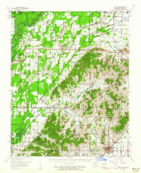
1958 · Rector
USGS Topo · 1:62,500
1959 · Poplar Bluff
USGS Topo · 1:250,000
1960 · Rector
USGS Topo · 1:62,500