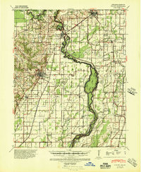
1940 Map of Piggott
USGS Topo · Published 1945About this map
The St Francis River winds through this 1940s landscape, defining the state boundary between Arkansas and Missouri. The settlement of Piggott serves as a central hub, surrounded by a dense network of rural infrastructure including numerous combined institutions like Gibson Ch & Sch and Pleasant Valley Ch & Sch. These multi-purpose buildings reflect the communal nature of early twentieth-century life in Clay County.
Find a feature on this map
82 named features on this map. Tap any name to fly to it.
Don’t see what you’re looking for? This feature index may not catch every label — zoom into the map to look around manually.
Map Details
Editions of this 1940 Piggott Map
This is the sole edition of this map. No revisions or reprints were ever made.
Other maps of this area
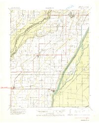
1934 · Kennett
USGS Topo · 1:62,500
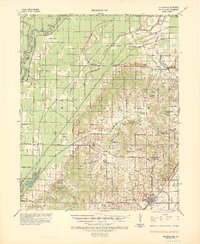
1935 · Rector
USGS Topo · 1:62,500
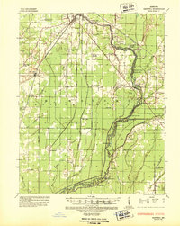
1935 · Harviell
USGS Topo · 1:62,500
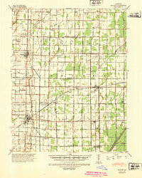
1940 · Malden
USGS Topo · 1:62,500
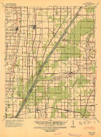
1940 · Pascola
USGS Topo · 1:62,500
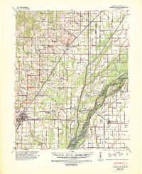
1940 · Marmaduke
USGS Topo · 1:62,500
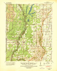
1940 · Valley Ridge
USGS Topo · 1:62,500
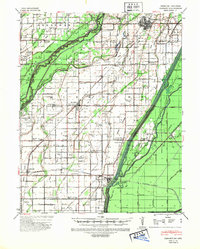
1940 · Kennett
USGS Topo · 1:62,500
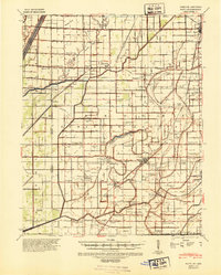
1940 · Hayti
USGS Topo · 1:62,500
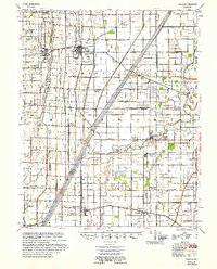
1955 · Pascola
USGS Topo · 1:62,500