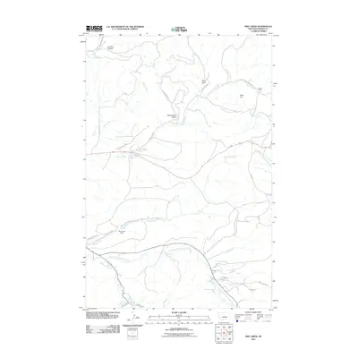
2011 Map of Pike Creek
USGS Topo · Published 2011About this map
Limekiln Canyon and Kelly Hill define the dissected topography of this Fergus County landscape, where numerous drainages carve through the terrain. The map documents a rural transition between high-ground gulches and the valley floors of Big Spring Creek and Pike Creek. Significant infrastructure like the Pike Creek Dam and the historic route of the Gilt Edge Stage Rd illustrate the area's development for water management and regional transit. Small settlement clusters appear at Dunlap and the Kiwanis Camp, connected by a network of local roads such as Ruby Gulch Rd and Divide Rd. The presence of numerous named canyons and gulches, including Ruby Gulch and Blind Breed Gulch, highlights a landscape shaped by seasonal water and historical land use.
Find a feature on this map
31 named features on this map. Tap any name to fly to it.
Don’t see what you’re looking for? This feature index may not catch every label — zoom into the map to look around manually.
Map Details
Editions of this 2011 Pike Creek Map
This is the sole edition of this map. No revisions or reprints were ever made.
Other maps of this area
1889 · Big Snowy Mountain
USGS Topo · 1:250,000
1893 · Big Snowy Mountain
USGS Topo · 1:250,000
1941 · Lewistown
USGS Topo · 1:62,500
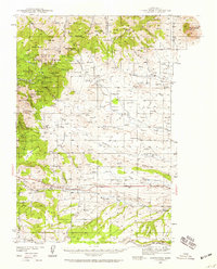
1941 · Judith Peak
USGS Topo · 1:62,500
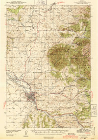
1944 · Lewistown
USGS Topo · 1:62,500
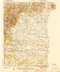
1944 · Judith Peak
USGS Topo · 1:62,500

1954 · Roundup
USGS Topo · 1:250,000

1954 · Lewistown
USGS Topo · 1:250,000

1958 · Roundup
USGS Topo · 1:250,000

1959 · Lewistown
USGS Topo · 1:250,000