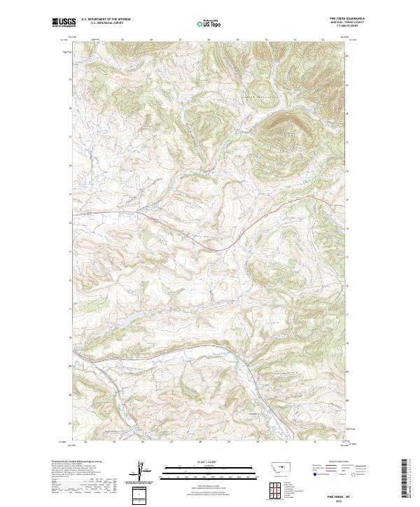
2024 Map of Pike Creek
USGS Topo · Published 2024About this map
The Judith Mountains dominate this Fergus County landscape, where elevation changes are marked by steep gulches and prominent rises like Kelly Hill. Drainage patterns in this high country are well-defined by numerous named watercourses, including the South Fork Burnette Creek to the northwest and the winding path of Boyd Creek. The presence of the Gilt Edge Stage Rd suggests the historical transit corridors that once connected central Montana's mining and ranching interests.
Find a feature on this map
35 named features on this map. Tap any name to fly to it.
Don’t see what you’re looking for? This feature index may not catch every label — zoom into the map to look around manually.
Map Details
Editions of this 2024 Pike Creek Map
This is the sole edition of this map. No revisions or reprints were ever made.
Other maps of this area

1889 · Big Snowy Mountain
USGS Topo · 1:250,000

1893 · Big Snowy Mountain
USGS Topo · 1:250,000

1941 · Lewistown
USGS Topo · 1:62,500

1941 · Judith Peak
USGS Topo · 1:62,500

1944 · Lewistown
USGS Topo · 1:62,500

1944 · Judith Peak
USGS Topo · 1:62,500

1954 · Roundup
USGS Topo · 1:250,000

1954 · Lewistown
USGS Topo · 1:250,000

1958 · Roundup
USGS Topo · 1:250,000

1959 · Lewistown
USGS Topo · 1:250,000