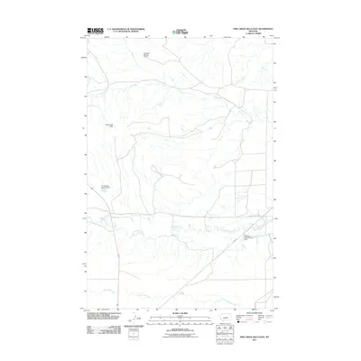
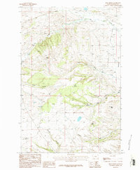
2011 Map of Pike Creek Hills East
USGS Topo · Published 2011About this map
Pike Creek Hills dominate the western portion of this Central Montana landscape, where the drainages of Fergus County dictate the placement of local infrastructure. The topographic survey reveals a series of water management systems essential to this region, including the D Bartlett Number 2 Dam and the Zimmerman Dam Number 1. These structures, alongside the Flatwillow Creek Number 2 Dam, illustrate the 21st-century efforts to control runoff and support agriculture in a semi-arid environment.
Find a feature on this map
9 named features on this map. Tap any name to fly to it.
Don’t see what you’re looking for? This feature index may not catch every label — zoom into the map to look around manually.
Map Details
Editions of this 2011 Pike Creek Hills East Map
This is the sole edition of this map. No revisions or reprints were ever made.
Other maps of this area

1954 · Roundup
USGS Topo · 1:250,000

1958 · Roundup
USGS Topo · 1:250,000
1986 · Snoose Creek
USGS Topo · 1:24,000
1986 · Pike Creek Hills West
USGS Topo · 1:24,000
1986 · Lake Mason NE
USGS Topo · 1:24,000
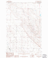
1986 · Lake Mason NW
USGS Topo · 1:24,000
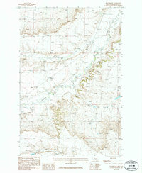
1986 · Flatwillow
USGS Topo · 1:24,000
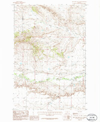
1986 · Pike Creek Hills East
USGS Topo · 1:24,000
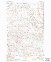
1986 · Big Wall NW
USGS Topo · 1:24,000
1986 · Milk Springs
USGS Topo · 1:24,000