
1941 Map of Pike Lake
USGS Topo · Published 1952About this map
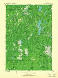
The South Fork Flambeau River carves through this northern Wisconsin landscape, its path punctuated by Little Cedar Rapids, Cedar Rapids, and Smith Rapids. Surveyed between 1938 and 1941, this area shows a dense network of water bodies, including Round Lake, Pike Lake, and the more secluded Riley Lake. Human presence is marked by public works and communal sites typical of the mid-century Northwoods, such as the Riley Creek CCC Camp and the Shady Knoll Sch. Watchful outposts like the South Fork Fire Tower and Elk River Fire Tower overlook the timberland of Fifield and Eisenstein. The northeastern corner transitions into the Lac Du Flambeau Indian Reservation, while the southern reaches of Worcester are defined by the winding Popple Creek and the Wilson Flowage.
Find a feature on this map
82 named features on this map. Tap any name to fly to it.
Don’t see what you’re looking for? This feature index may not catch every label — zoom into the map to look around manually.
Map Details
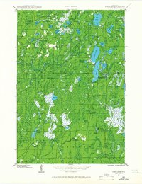
Editions of this 1941 Pike Lake Map
3 editions found
Other maps of this area

1938 · Lac Du Flambeau
USGS Topo · 1:48,000

1939 · Lac Du Flambeau
USGS Topo · 1:48,000

1939 · Mc Cord
USGS Topo · 1:48,000

1939 · Winchester
USGS Topo · 1:48,000

1940 · Mercer
USGS Topo · 1:48,000

1940 · Butternut
USGS Topo · 1:48,000

1941 · Park Falls
USGS Topo · 1:48,000

1941 · Phillips
USGS Topo · 1:48,000

1941 · Brantwood
USGS Topo · 1:48,000

1942 · Pike Lake
USGS Topo · 1:48,000