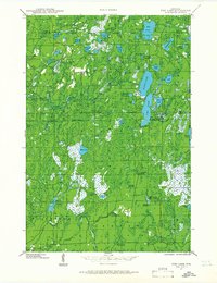
1941 Map of Pike Lake
USGS Topo · Published 1966About this map
The dense forests and glacial waterways of Price, Iron, and Vilas counties are captured here just before the mid-century, following field examinations in 1938 and 1941. This landscape is defined by its recreation and forestry infrastructure, notably featuring the Riley Creek CCC Camp, a remnant of Depression-era public works. Watchful eyes over the timberlands are represented by the South Fork Fire Tower and the Elk River Fire Tower, both critical landmarks for fire prevention in the Northwoods.
Find a feature on this map
80 named features on this map. Tap any name to fly to it.
Don’t see what you’re looking for? This feature index may not catch every label — zoom into the map to look around manually.
Map Details
Editions of this 1941 Pike Lake Map
3 editions found
Other maps of this area

1938 · Lac Du Flambeau
USGS Topo · 1:48,000

1939 · Lac Du Flambeau
USGS Topo · 1:48,000

1939 · Mc Cord
USGS Topo · 1:48,000

1939 · Winchester
USGS Topo · 1:48,000

1940 · Mercer
USGS Topo · 1:48,000

1940 · Butternut
USGS Topo · 1:48,000

1941 · Park Falls
USGS Topo · 1:48,000

1941 · Pike Lake
USGS Topo · 1:48,000

1941 · Phillips
USGS Topo · 1:48,000

1941 · Brantwood
USGS Topo · 1:48,000