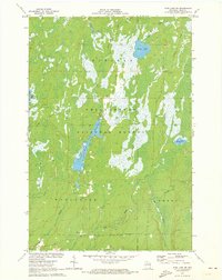
1971 Map of Pike Lake SW
USGS Topo · Published 1973About this map
Chequamegon National Forest dominates the landscape of Price County in this early 1970s survey, illustrating a region defined by its complex network of water and wetlands. The topography is characterized by significant impoundments such as Wilson Flowage and Schmutand Flowage, which speak to the management of local water resources for wildlife and flood control. Moving south, the Elk River winds through the townships of Worcester and Emery, joined by several tributaries including Popple Creek and Spring Creek. The distribution of scattered gravel pits along secondary roads suggests a reliance on local mineral extraction for regional infrastructure during this era. This map provides a detailed view of the Northwoods before extensive modern development, capturing the quiet isolation of Riley Lake and the dense forest cover that has long shaped the local timber and recreation economies.
Find a feature on this map
12 named features on this map. Tap any name to fly to it.
Don’t see what you’re looking for? This feature index may not catch every label — zoom into the map to look around manually.
Map Details
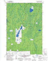
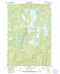
Editions of this 1971 Pike Lake SW Map
3 editions found
Other maps of this area

1941 · Park Falls
USGS Topo · 1:48,000

1941 · Pike Lake
USGS Topo · 1:48,000

1941 · Phillips
USGS Topo · 1:48,000

1941 · Brantwood
USGS Topo · 1:48,000

1942 · Pike Lake
USGS Topo · 1:48,000

1943 · Park Falls
USGS Topo · 1:48,000

1943 · Philliips
USGS Topo · 1:48,000

1943 · Brantwood
USGS Topo · 1:48,000

1947 · Park Falls
USGS Topo · 1:48,000

1950 · Pike Lake
USGS Topo · 1:48,000