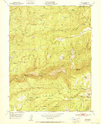
1951 Map of Pike
USGS Topo · Published 1951About this map
Gold-bearing ridges and the deep canyons of the Middle Yuba River dominate this 1951 study of the northern Mother Lode country. The landscape is a map of industrial history, prominently featuring the Matakoff Diggings and numerous historical mining sites such as the Alaska Mine (Site), True Grit Mine (Site), and the Kate Hardy Mine. These operations follow the distinct geological formations of Chalk Ridge and the San Juan Ridge, where hydraulic mining and hard-rock tunneling once defined the local economy.
Find a feature on this map
72 named features on this map. Tap any name to fly to it.
Don’t see what you’re looking for? This feature index may not catch every label — zoom into the map to look around manually.
Map Details
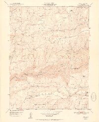
Editions of this 1951 Pike Map
2 editions found
Other maps of this area

1888 · Smartsville
USGS Topo · 1:125,000

1888 · Bidwell Bar
USGS Topo · 1:125,000

1891 · Bidwell Bar
USGS Topo · 1:125,000

1891 · Downieville
USGS Topo · 1:125,000

1891 · Colfax
USGS Topo · 1:125,000

1891 · Smartsville
USGS Topo · 1:125,000

1892 · Smartsville
USGS Topo · 1:125,000

1892 · Colfax
USGS Topo · 1:125,000

1893 · Bidwell Bar
USGS Topo · 1:125,000

1893 · Downieville
USGS Topo · 1:125,000