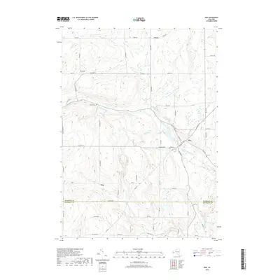
2019 Map of Pike
USGS Topo · Published 2019About this map
The village of Pike sits at a crossroads in western New York, where Wiscoy Creek winds through the landscape. This 2019 survey captures a rural environment defined by its watercourses and small settlements like Hardys and Howes. The map shows a clear transition across the boundary between Wyoming and Allegany Counties, documenting the layout of local infrastructure from Centerville Rd to Newcomb Rd. For those researching local families, several established burial grounds are noted, including Pike Cem, Lyonsburg Cem, and Dole Cem. The terrain is characterized by numerous small tributaries such as Trout Brook, Bush Brook, and Elm Cr that feed into the larger creek system, illustrating the natural drainage patterns that have historically influenced settlement and agricultural placement in this portion of the Genesee Valley watershed.
Find a feature on this map
63 named features on this map. Tap any name to fly to it.
Don’t see what you’re looking for? This feature index may not catch every label — zoom into the map to look around manually.
Map Details
Editions of this 2019 Pike Map
This is the sole edition of this map. No revisions or reprints were ever made.
Other maps of this area

1905 · Portage
USGS Topo · 1:62,500

1906 · Angelica
USGS Topo · 1:62,500

1923 · Arcade
USGS Topo · 1:62,500

1924 · Franklinville
USGS Topo · 1:62,500

1925 · Arcade
USGS Topo · 1:62,500

1941 · Angelica
USGS Topo · 1:62,500

1942 · Franklinville
USGS Topo · 1:62,500

1943 · Warsaw
USGS Topo · 1:24,000

1943 · Castile
USGS Topo · 1:24,000

1943 · Portageville
USGS Topo · 1:24,000