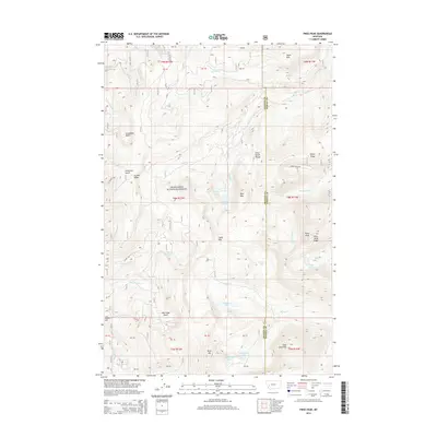
2014 Map of Pikes Peak
USGS Topo · Published 2014About this map
The Flint Creek Range dominates this portion of the Deerlodge National Forest, where a high-elevation landscape is defined by its glaciated basins and rugged summits. Named peaks such as Pikes Peak and Goat Mtn tower over a complex network of drainages, including the headwaters of the Middle Fork Douglas Cr and the various forks of Gold Cr. This 2014 survey reveals a high density of alpine water bodies, from the Gold Cr Lakes and Rainbow Lake to the more secluded Dolus Lakes and Thompson Lake.
Find a feature on this map
51 named features on this map. Tap any name to fly to it.
Don’t see what you’re looking for? This feature index may not catch every label — zoom into the map to look around manually.
Map Details
Editions of this 2014 Pikes Peak Map
This is the sole edition of this map. No revisions or reprints were ever made.
Other maps of this area
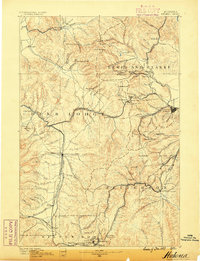
1889 · Helena
USGS Topo · 1:250,000
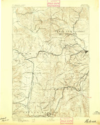
1893 · Helena
USGS Topo · 1:250,000
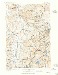
1899 · Helena
USGS Topo · 1:250,000
1903 · Helena
USGS Topo · 1:250,000
1908 · Philipsburg
USGS Topo · 1:125,000
1919 · Drummond
USGS Topo · 1:125,000
1921 · Drummond
USGS Topo · 1:125,000
1947 · Butte
USGS Topo · 1:250,000
1958 · Butte
USGS Topo · 1:250,000
1958 · Drummond
USGS Topo · 1:62,500