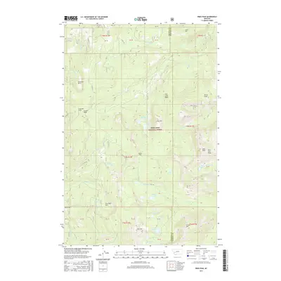
2017 Map of Pikes Peak
USGS Topo · Published 2017About this map
Pikes Peak and the high ridges of the Flint Creek Range dominate this landscape along the boundary of Granite and Powell Counties. Much of the territory falls within the Deerlodge National Forest, where a complex network of alpine lakes and mining-related drainages suggests a long history of exploration and water management. High-altitude features like Princeton Gulch, Eureka Ridge, and Horseshoe Basin speak to the area's mineral-focused past, while numerous water bodies such as Bielenberg Lake, Potato Lakes, and Altoona Lakes are clustered in the high basins. The terrain is deeply carved by watercourses like Gold Cr and Royal Gold Cr, which flow through steep gulches toward the lower valleys. This map shows the area as it was recorded in 2017, illustrating the modern management of these remote mountain lands via forest roads like Co RD 5153 and Emery Ridge Rd.
Find a feature on this map
62 named features on this map. Tap any name to fly to it.
Don’t see what you’re looking for? This feature index may not catch every label — zoom into the map to look around manually.
Map Details
Editions of this 2017 Pikes Peak Map
This is the sole edition of this map. No revisions or reprints were ever made.
Other maps of this area
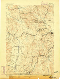
1889 · Helena
USGS Topo · 1:250,000
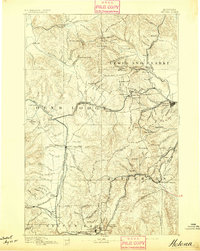
1893 · Helena
USGS Topo · 1:250,000
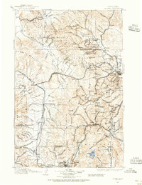
1899 · Helena
USGS Topo · 1:250,000
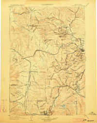
1903 · Helena
USGS Topo · 1:250,000
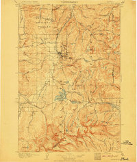
1908 · Philipsburg
USGS Topo · 1:125,000
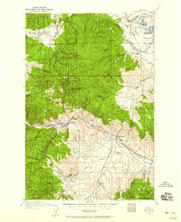
1919 · Drummond
USGS Topo · 1:125,000
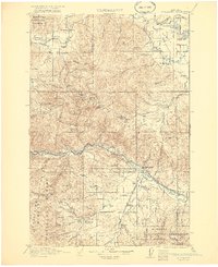
1921 · Drummond
USGS Topo · 1:125,000
1947 · Butte
USGS Topo · 1:250,000
1958 · Butte
USGS Topo · 1:250,000
1958 · Drummond
USGS Topo · 1:62,500