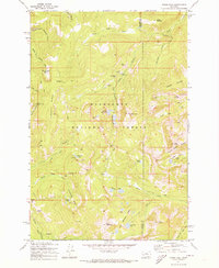
1971 Map of Pikes Peak
USGS Topo · Published 1973About this map
Gold mining operations and high-altitude encampments define this early 1970s survey of the Deerlodge National Forest along the border of Granite and Powell counties. The landscape is heavily marked by the region's extractive history, particularly around the headwaters of Gold Creek. Relics of the mining era are visible at the Master Mining Camp and the nearby Master Mine, alongside numerous other operations such as the Thursday Friday Mine and the Brooklyn Mine.
Find a feature on this map
51 named features on this map. Tap any name to fly to it.
Don’t see what you’re looking for? This feature index may not catch every label — zoom into the map to look around manually.
Map Details
Editions of this 1971 Pikes Peak Map
2 editions found
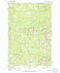
Other maps of this area

1889 · Helena
USGS Topo · 1:250,000

1893 · Helena
USGS Topo · 1:250,000

1899 · Helena
USGS Topo · 1:250,000

1903 · Helena
USGS Topo · 1:250,000

1908 · Philipsburg
USGS Topo · 1:125,000

1919 · Drummond
USGS Topo · 1:125,000

1921 · Drummond
USGS Topo · 1:125,000

1947 · Butte
USGS Topo · 1:250,000

1958 · Butte
USGS Topo · 1:250,000

1958 · Drummond
USGS Topo · 1:62,500